Overview
- Name: Pacific Crest Trail (PCT)
- Country: USA
- Length: 4265 km
- Altitude: > 120.000 m
- Dififculty: not technically difficult
- Stages: 113
- Season: April to August
The film
I have also finished a short film about my hike on the PCT:
Route
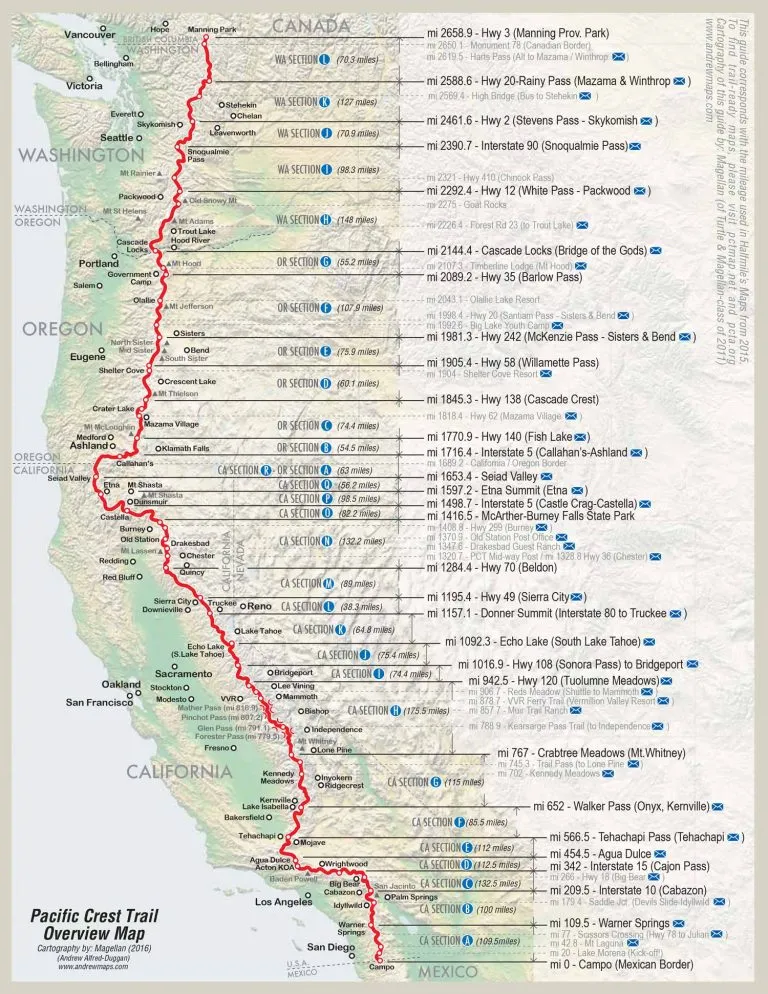
I have chosen the Pacific Crest Trail (PCT for short, officially the Pacific Crest National Scenic Trail) as my next adventure for 2024. The long-distance hiking trail in the west of the USA runs for around 4,265 km from the Mexican border through the three states of California, Oregan and Washington all the way north to Canada.
Summary
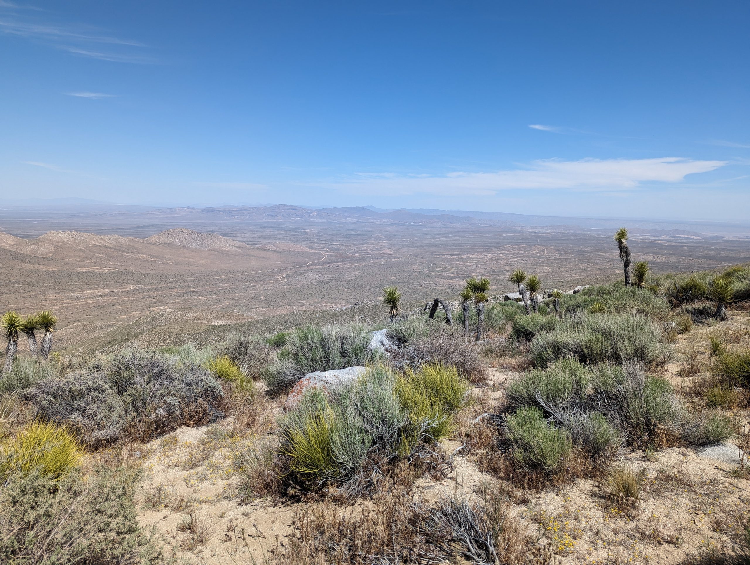
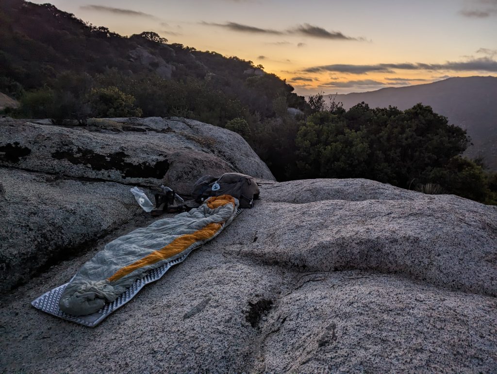
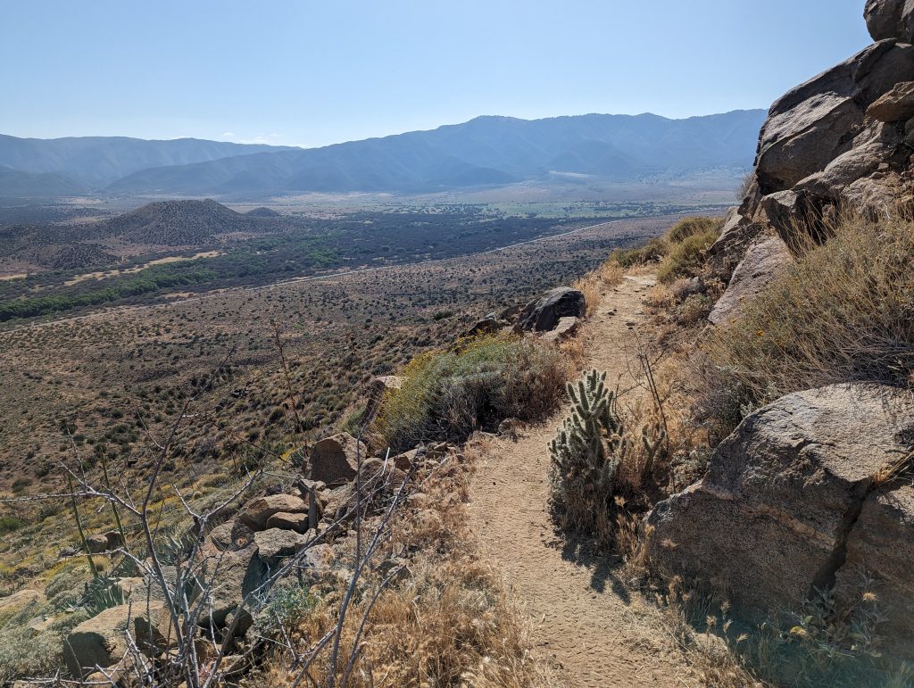
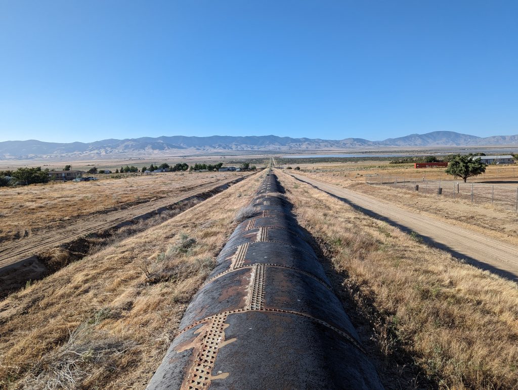
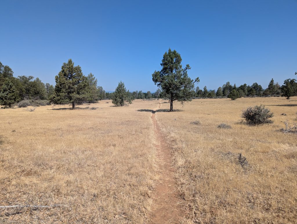
On April 27, 2024, I started my hike on the PCT in Campo, on the border with Mexico. The first few miles took me through the Southern California desert, which was much greener than expected in places. Not only did I encounter a number of rattlesnakes, but I was also able to marvel at the beautiful landscapes of the desert, which I really enjoyed overall. Due to the dry nights, I did without my tent on many days and enjoyed sleeping under the starry sky. After 35 days and just over 700 miles (1126 km), I had already reached the end of the first section of my journey to Canada.
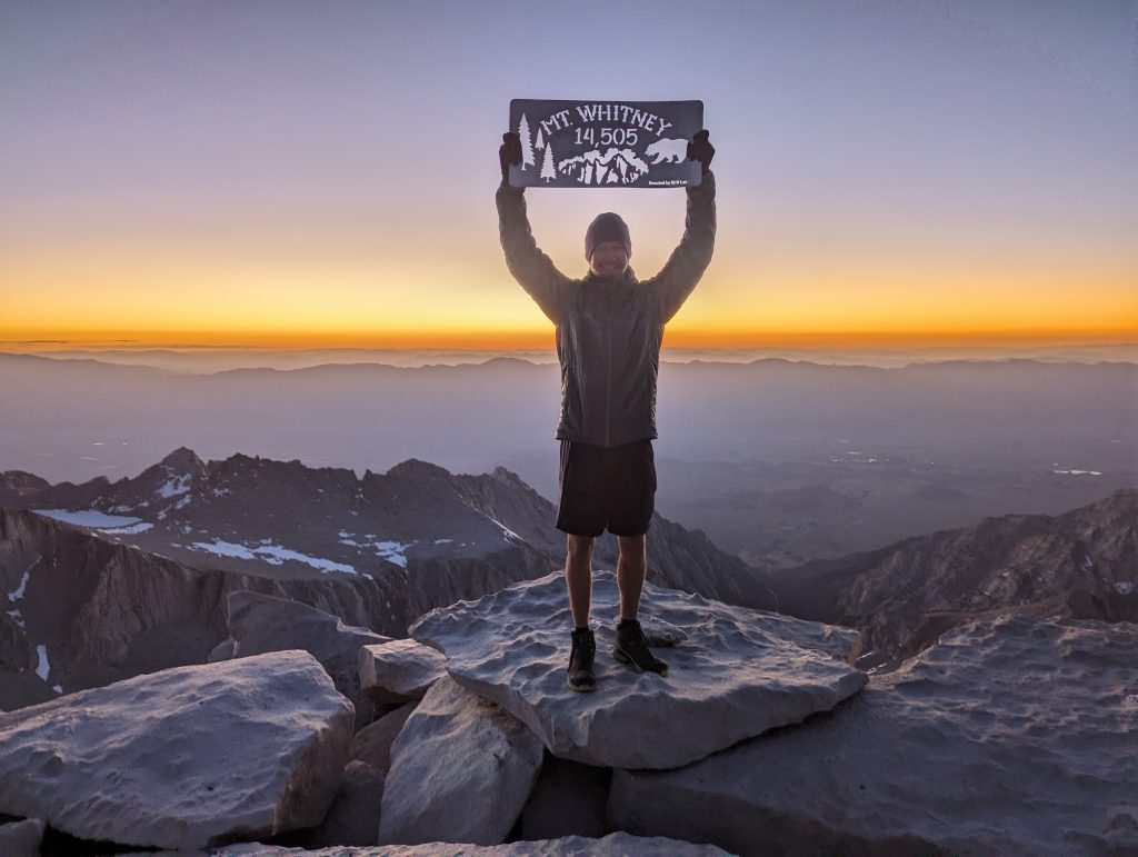
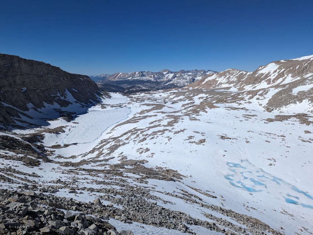
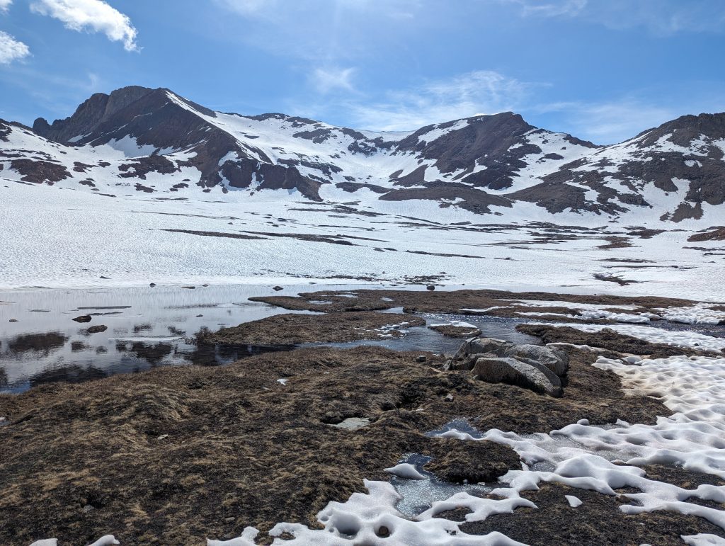
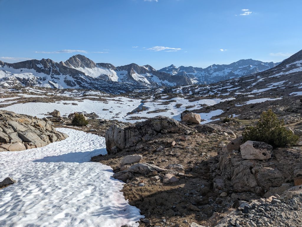
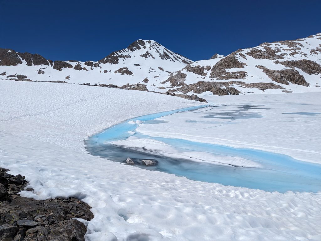
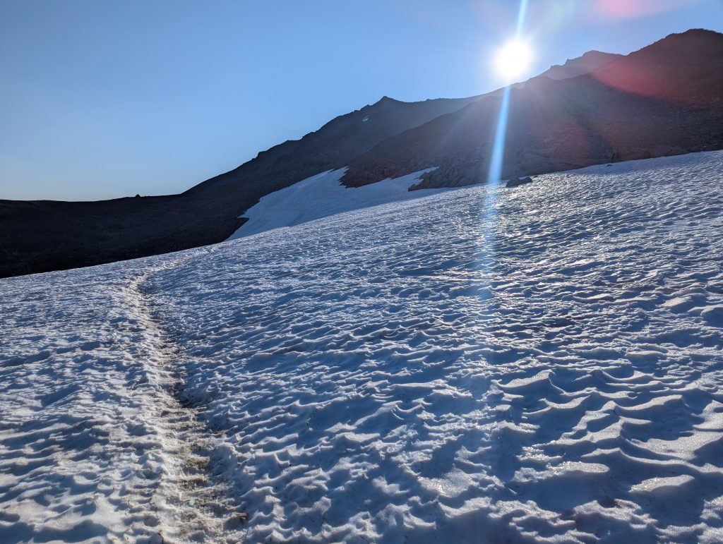
From Kennedy Meadows South, I continued on towards the mountains. Equipped with a bear canister, micro-spikes and an ice axe, I set off for the Sierra. After climbing Mount Whitney (4421 m), the highest mountain in the USA outside of Alaska, after just a few days, I continued north over fantastic, snow-covered passes. Due to the extra weight of the equipment and food for many days, I made much slower progress here. However, neither the snow, which made walking exhausting at times, nor the numerous and often really icy river crossings could stop me. After another 27 days, I reached South Lake Tahoe, which marked the end of the Sierra for me.
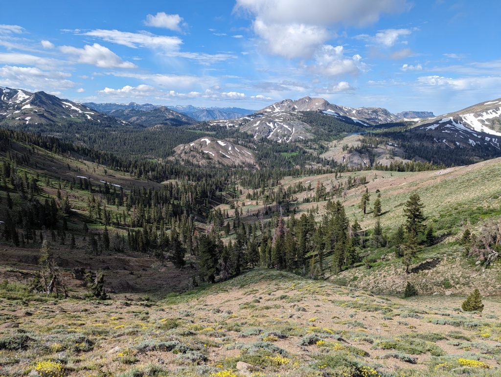
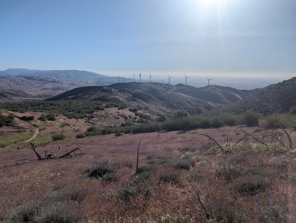
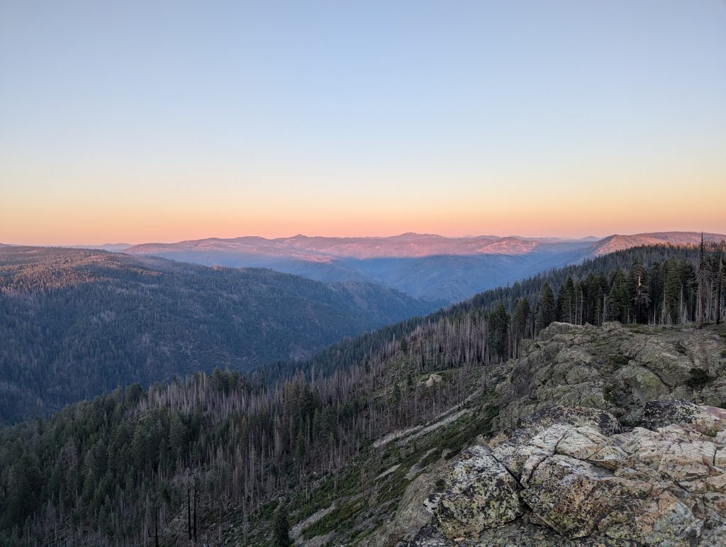
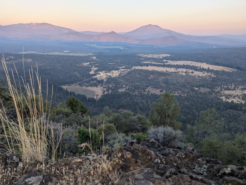
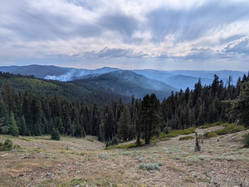
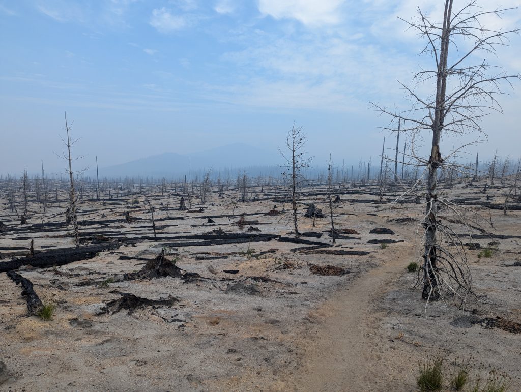
Next on my agenda was Northern California, where I was able to slowly increase the number of kilometers with a lighter pack. While the trail itself became much easier, I had to deal with the heat again and again and the sun was often unbearable, especially in the numerous sections that led through burnt forest. This was also the first section that I unfortunately had to skip due to a large fire. I went around it by bus and car and was lucky that I was able to cross the border into Oregon on foot before another fire made this section impassable too. This meant that after 81 days I was finally able to leave California, the first state, behind me and continue my journey in Oregon.
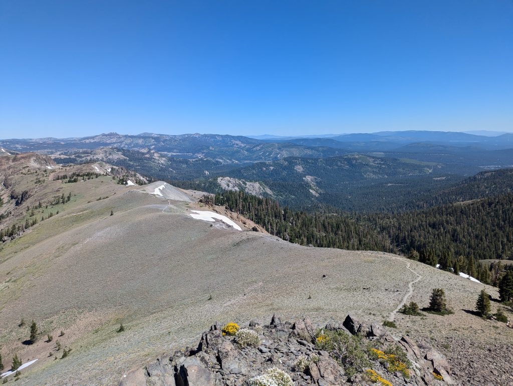
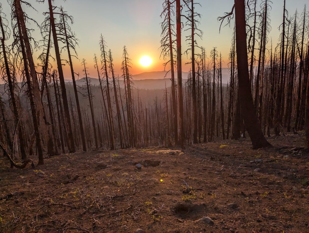
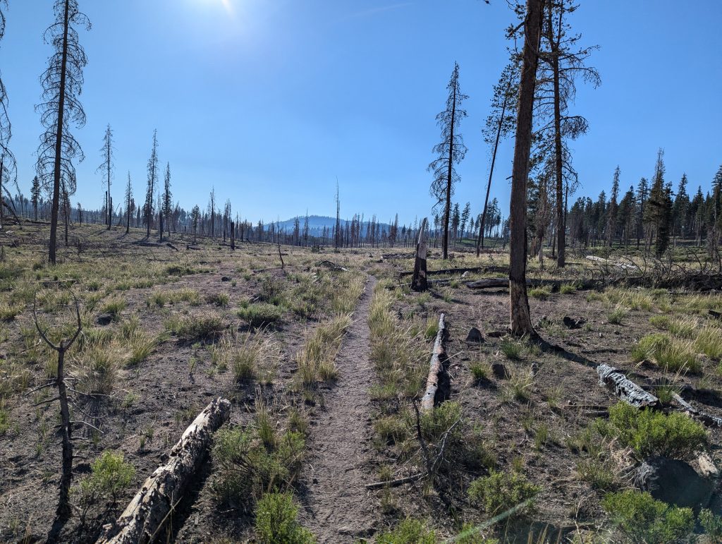
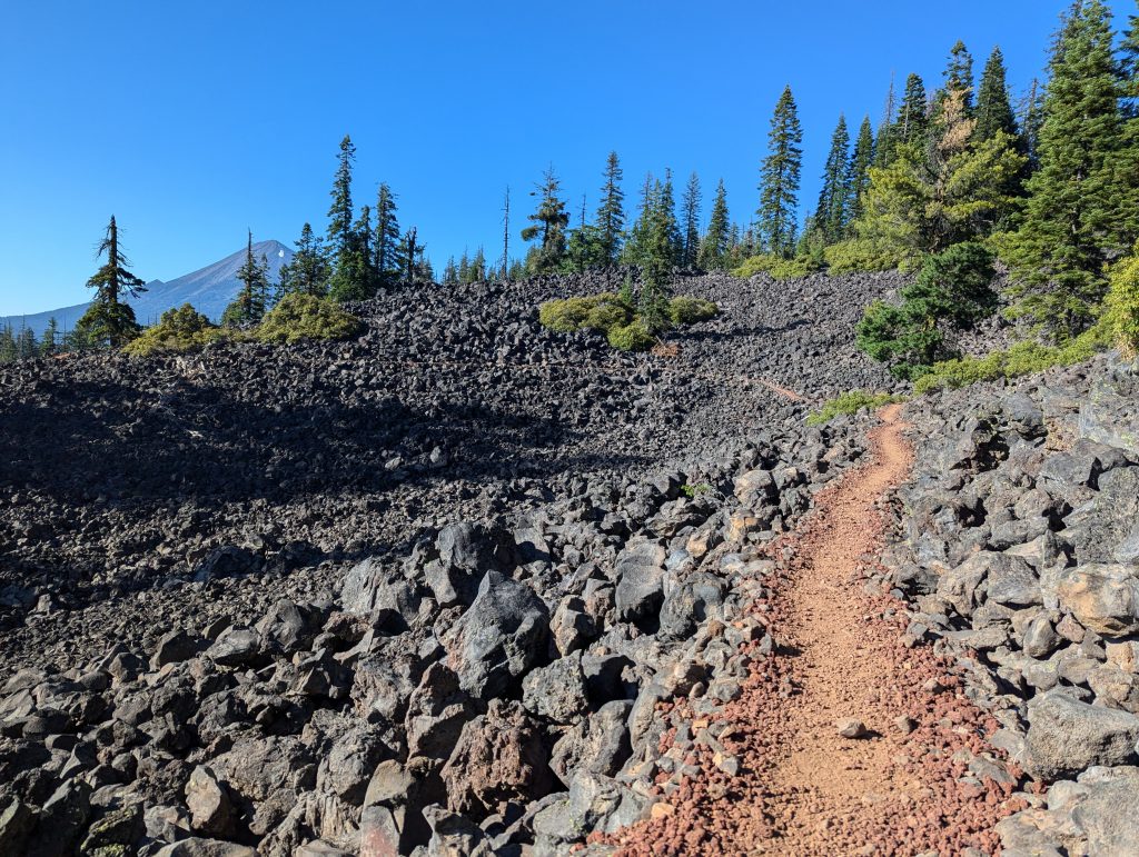
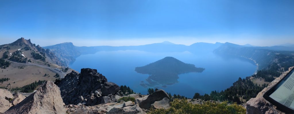
In Oregon, the trail became much flatter again and I was regularly able to complete more than 30 miles (48 km) per day. Alongside Crater Lake, the 24-hour challenge was certainly one of the highlights on the otherwise rather unspectacular trail. Unfortunately, there were always fires here too, which interfered with the hiking and I was also forced to bypass almost 30 miles at one point. Unlike some other hikers, however, I was still able to hike through large sections before more fires forced many people to skip almost all of Oregon.
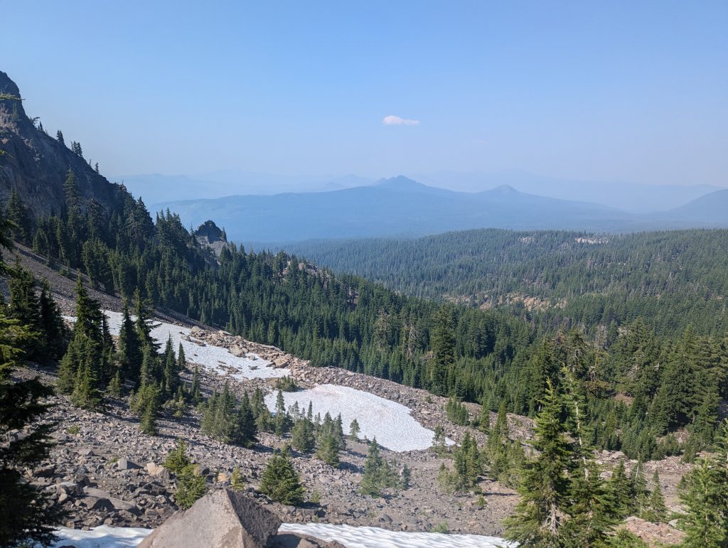
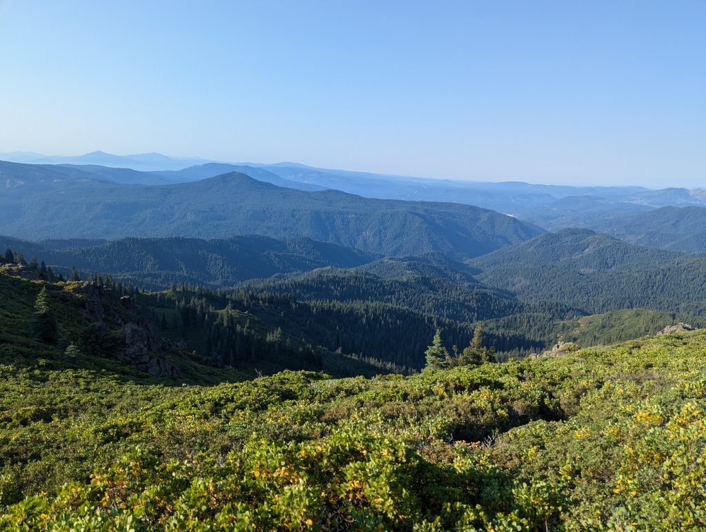
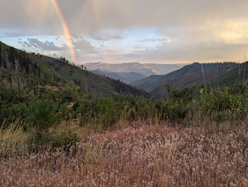
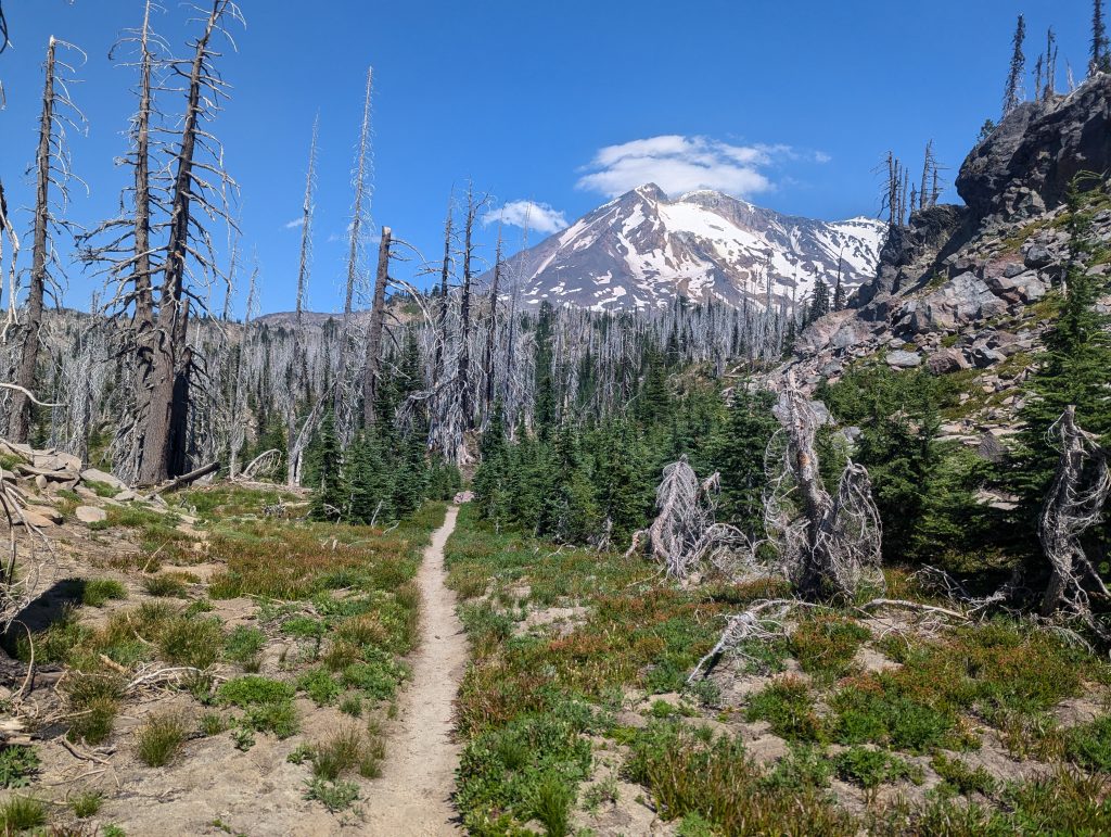
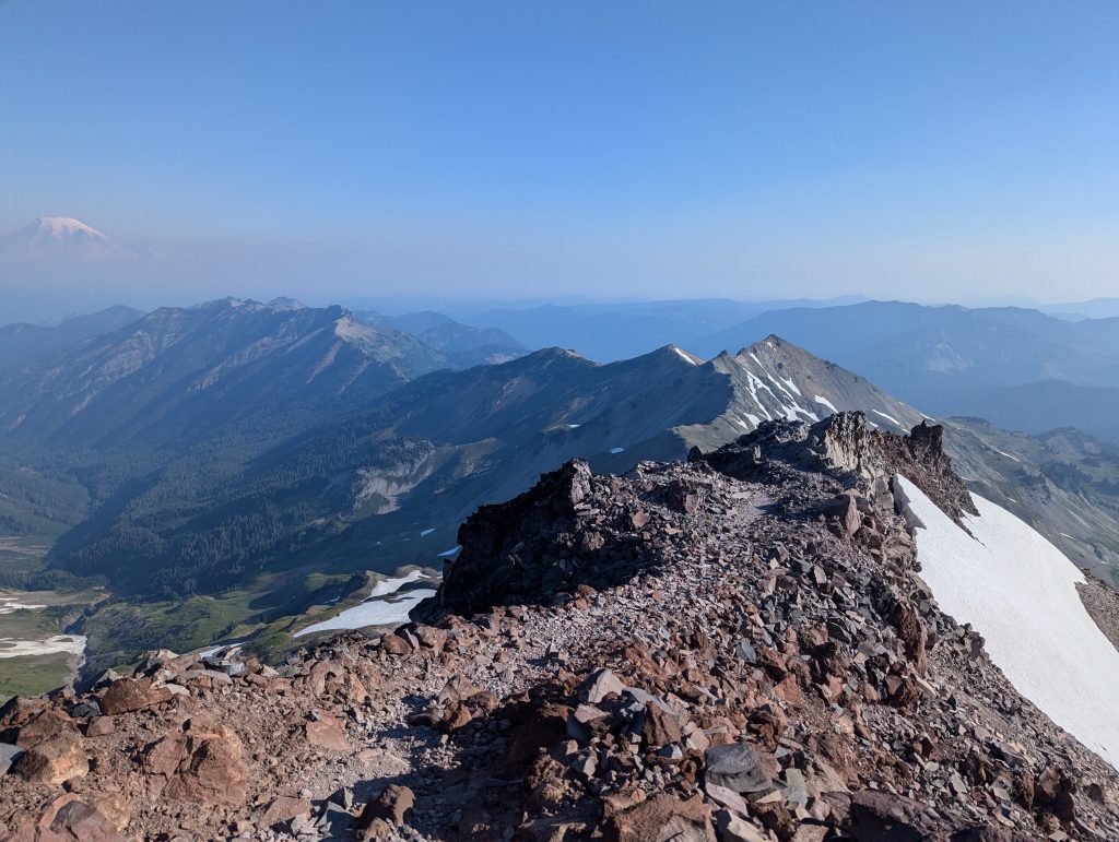
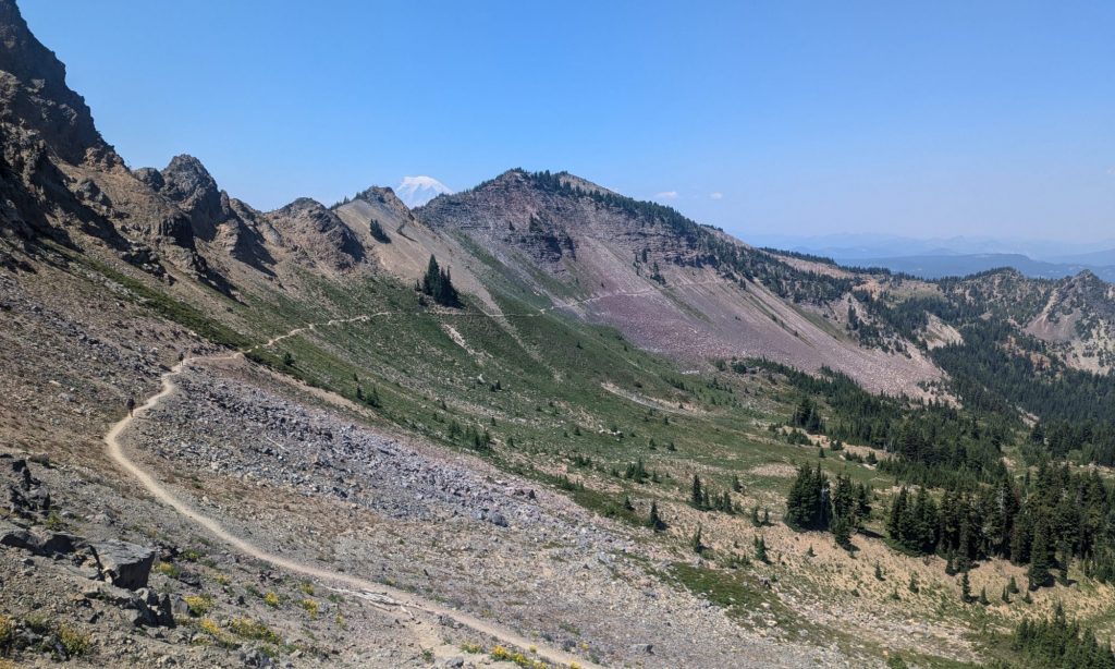
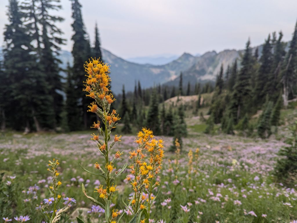
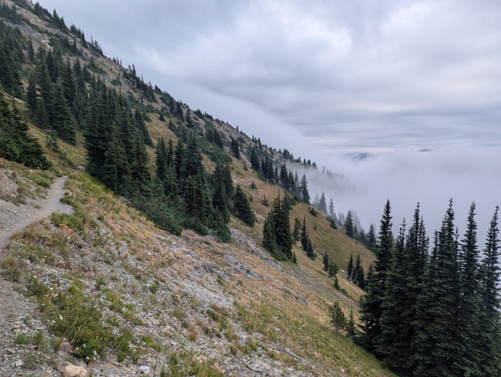
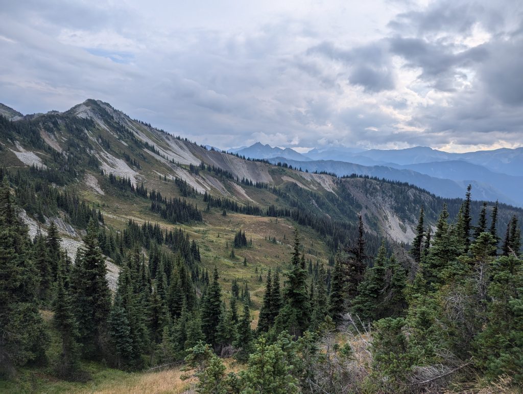
In Washington, everything happened very quickly in the end. While the trail went up and down a lot more, I was able to enjoy the last few miles on the PCT in beautiful mountain landscapes. In contrast to the sometimes monotonous sections in the forest, hiking in the mountains felt really good again. As I unfortunately had to skip a longer section here too, I arrived in the north much earlier than expected.
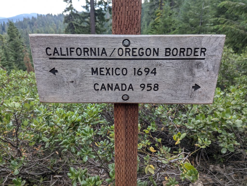
After a few final days, I reached the Canadian border after just 113 days and thus the end of my journey on the PCT. From here, I headed back home via Vancouver.
Reports
You can find more detailed reports about my trip on the PCT on my blog. I have linked all the reports on this topic below:
Leave a Reply