
Day 46 – 14.6 km – Tuesday 11.06.2024
Today I stay a little longer lying in the soft bed until around 8 a.m. I get up. I take another morning shower and then have a relaxed breakfast in my room. There are chocolate muffins and grapes for eating, which is a bit of a change from everyday trail life. After that I’ll finish the last days of my blog and pack my things up.
Shortly before 11 a.m. I leave the room and continue towards the center. Since I haven’t had coffee yet, I’ll stop at a café and drink an Americano. I get into conversation with a few other Hikers, who are well represented here. Even though I see most people for the first time, I also meet familiar faces. Around 12 o’clock the hunger drives me back to McDonalds, where I would like to get one last refreshment.

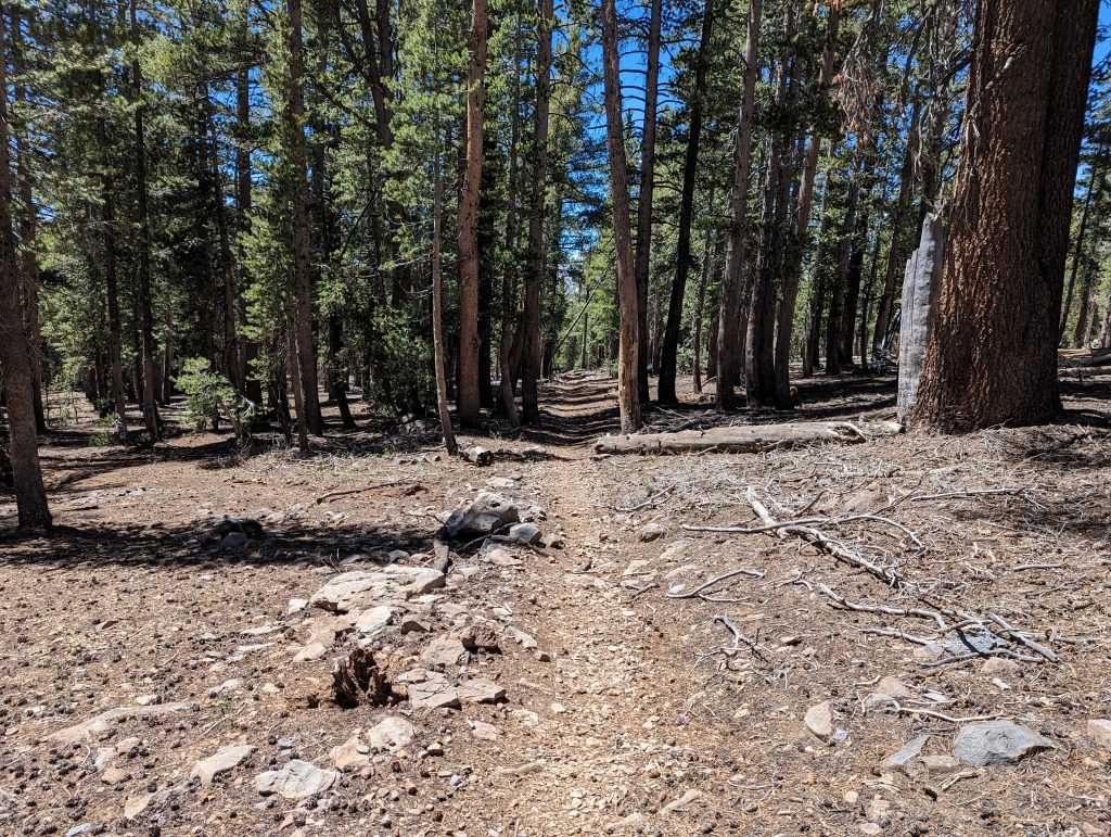
Here, too, I meet some PCT hikers directly. I’ll talk to you about the next few days. Since an important bridge over a larger river was destroyed by the enormous masses of snow last year, the PCT section is closed here. As an alternative, there is a longer detour via Bishop, which cuts off almost 30 miles from the PCT. Even if it’s the official recommended route, I prefer to choose an unofficial route. This leads me a little over stones up a mountain and thus bypasses the actual river. Since the others have planned the same thing here, I feel strengthened in my decision. After I’ve finished eating and the others went shopping, I’m on my way again.
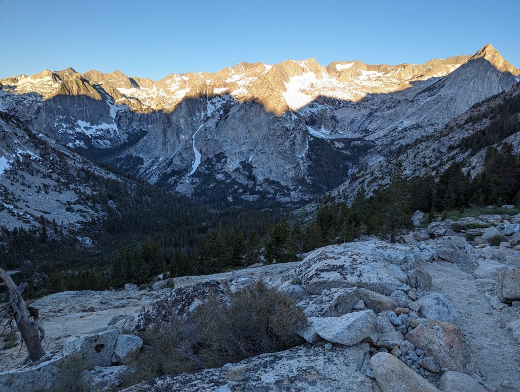
I walk to the road that leads back to the Trailhead. Just like yesterday, I’m lucky enough to hitchhike today. Less than two minutes after I stood on the street, a couple who wants to go fishing in the mountains takes me with them. On the 20-minute drive you want to know a lot about the trail and the time will pass quickly. Back on the hiking trail, which is supposed to bring me back to the PCT via the Bishop Pass, let me out. I’m meeting two more hikers from Germany, with whom I’m talking for a while.
I’m not really starting until around 3:30 p.m. It goes back the same way as yesterday and so I know what to expect.
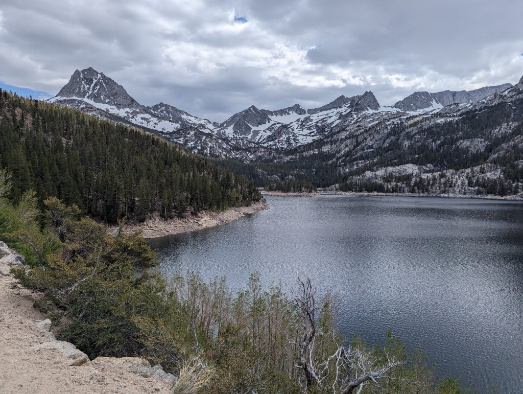
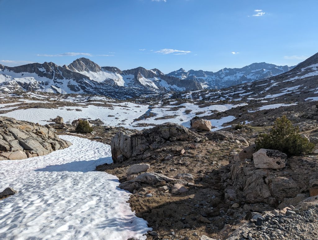
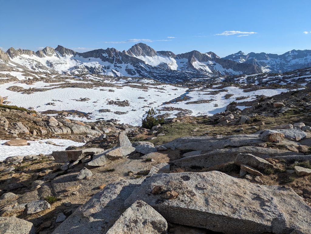
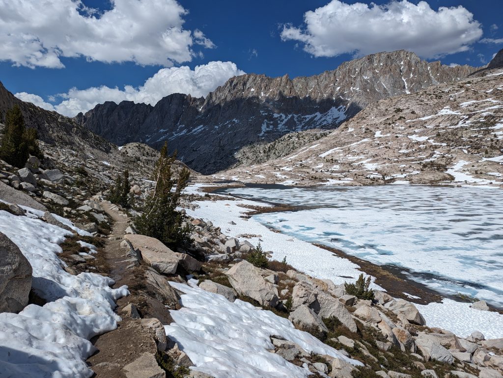
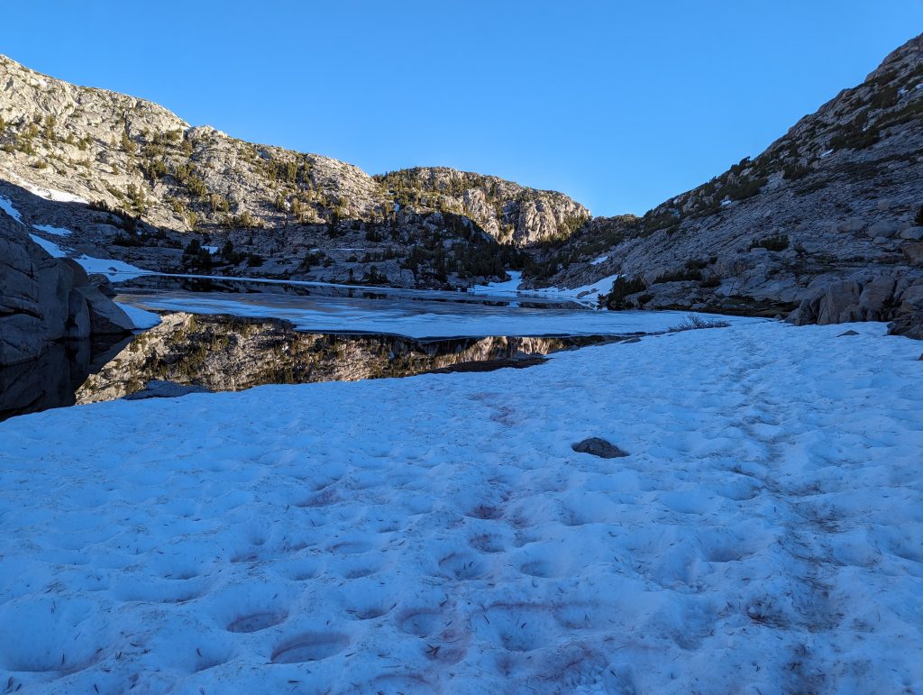
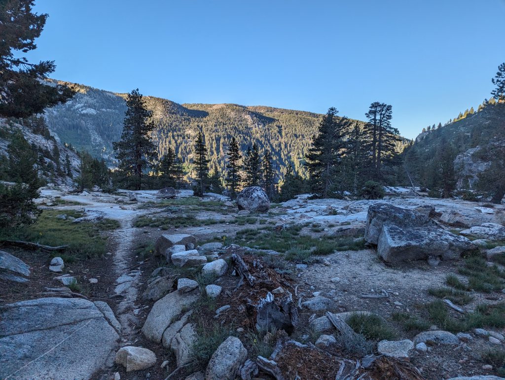
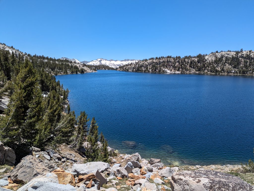
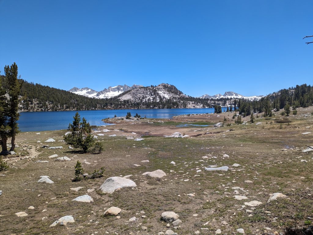
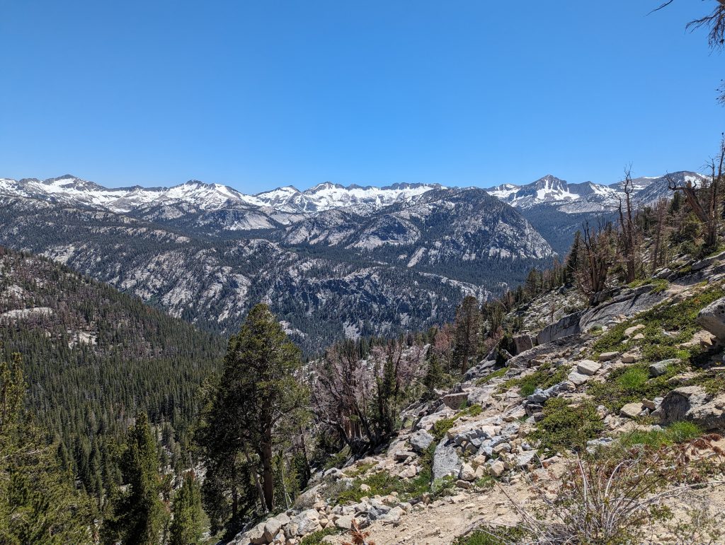
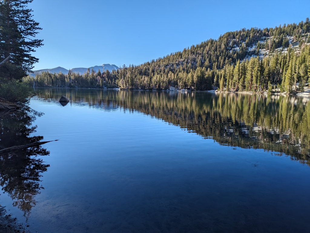
It goes up the mountain for a long time and then along lakes.
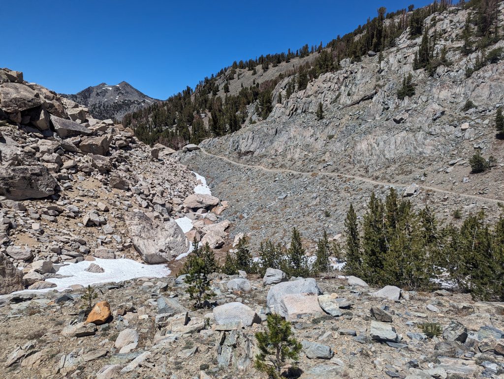
Then it’s steeper again over snow.
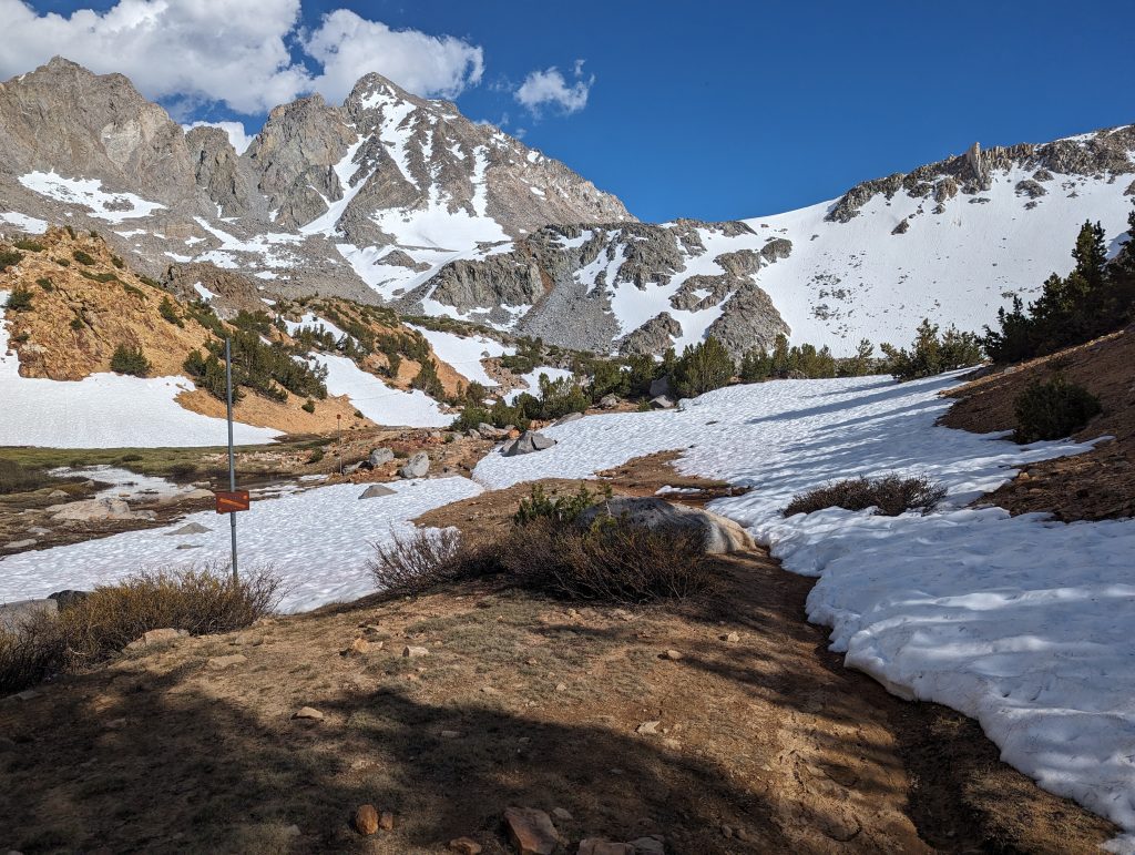
From there I slowly walk downhill on the other side. Initially again in the snow and later on along the slope via serpentines.
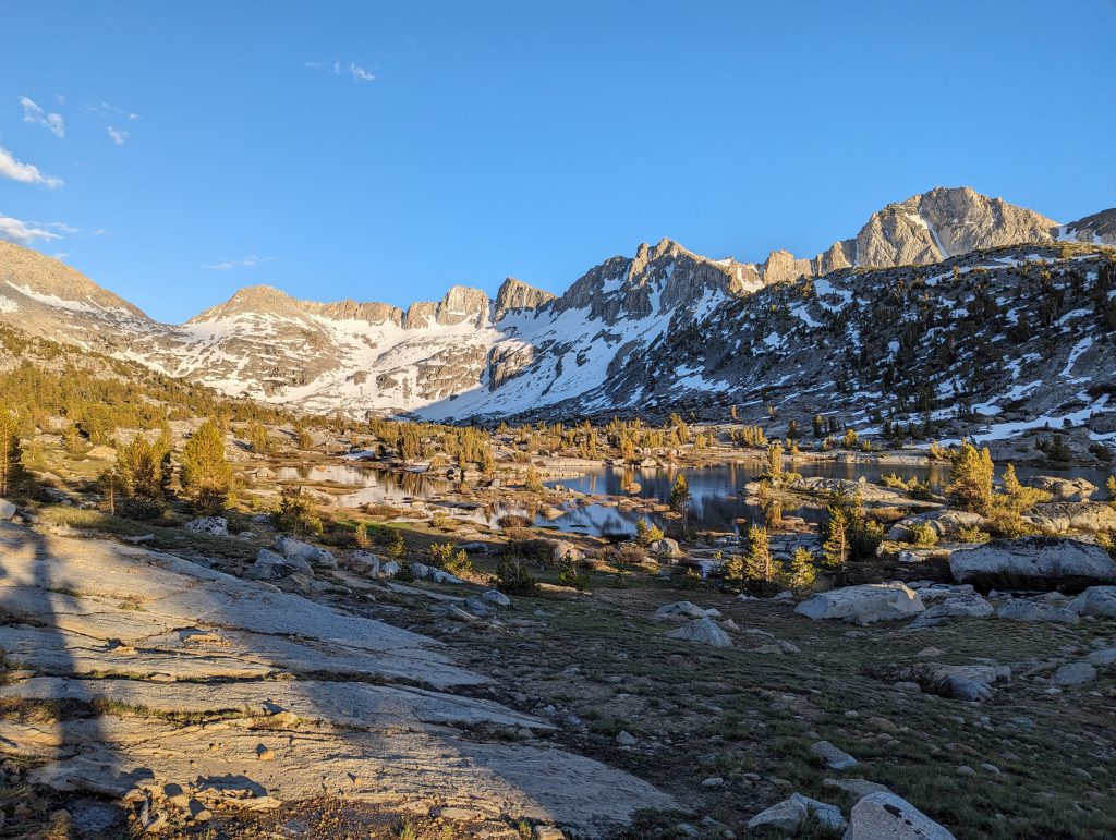
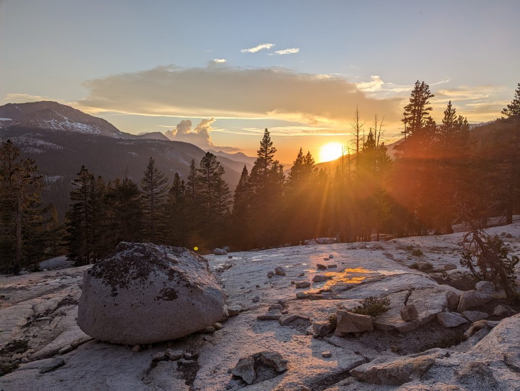
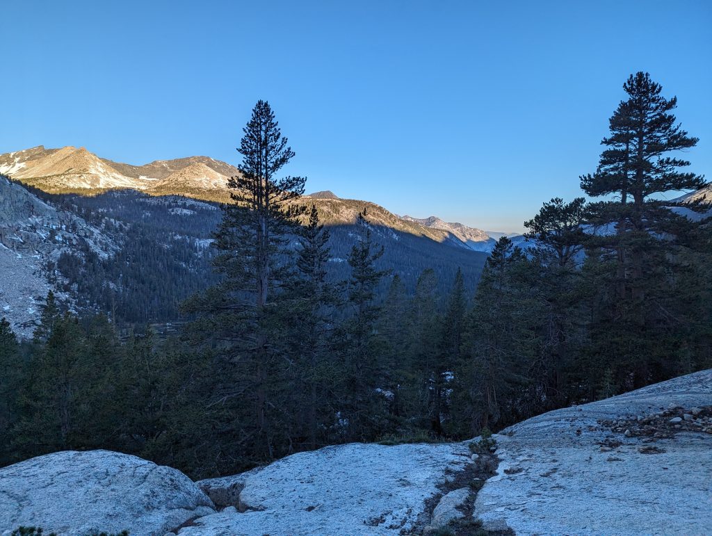
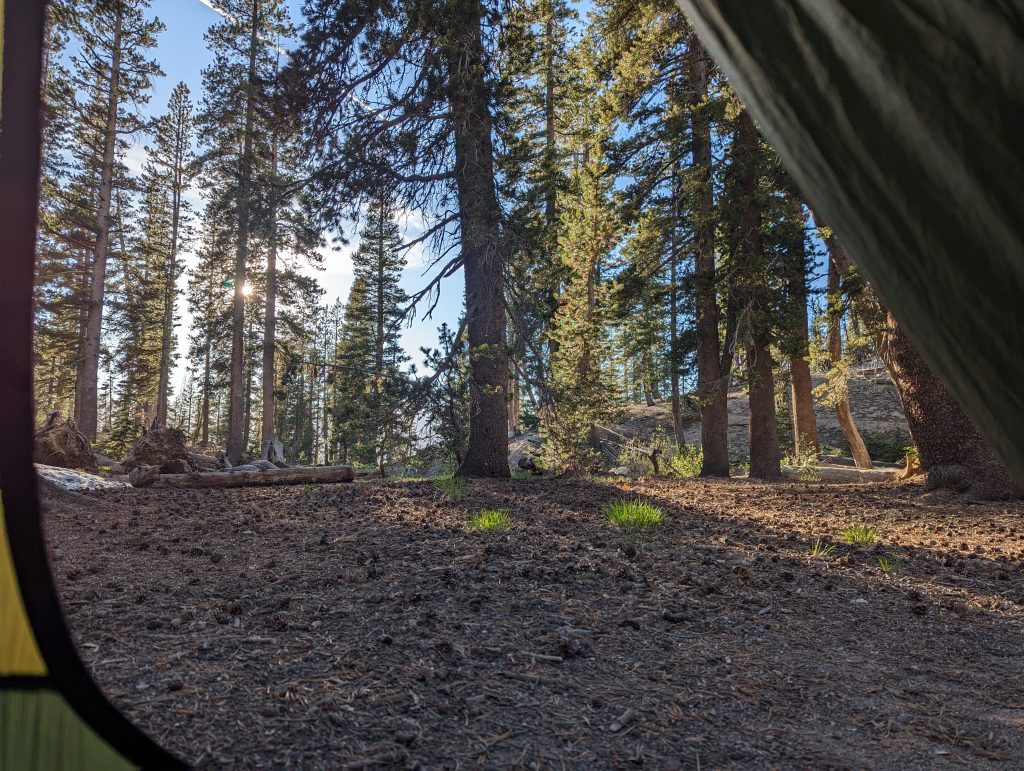
Since it’s already late in the evening and I see a suitable rock for cowboy camping, I decide to spend the night here. I quickly set up my camp and at dinner I watch the sunset.
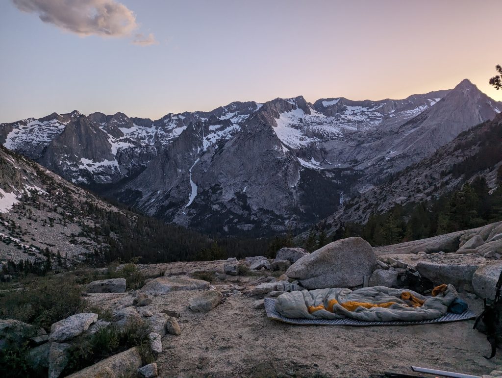
Later I slip into my sleeping bag and fall asleep pretty quickly under the starry sky.
Day 47 – 27.6 km – Wednesday 12.06.2024
I wake up at 5 a.m. While I’m having breakfast, the mountains in front of me are slowly lit by the rising sun.
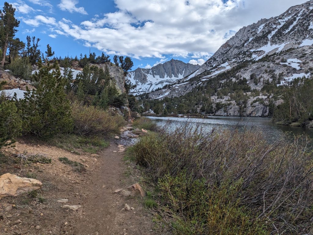
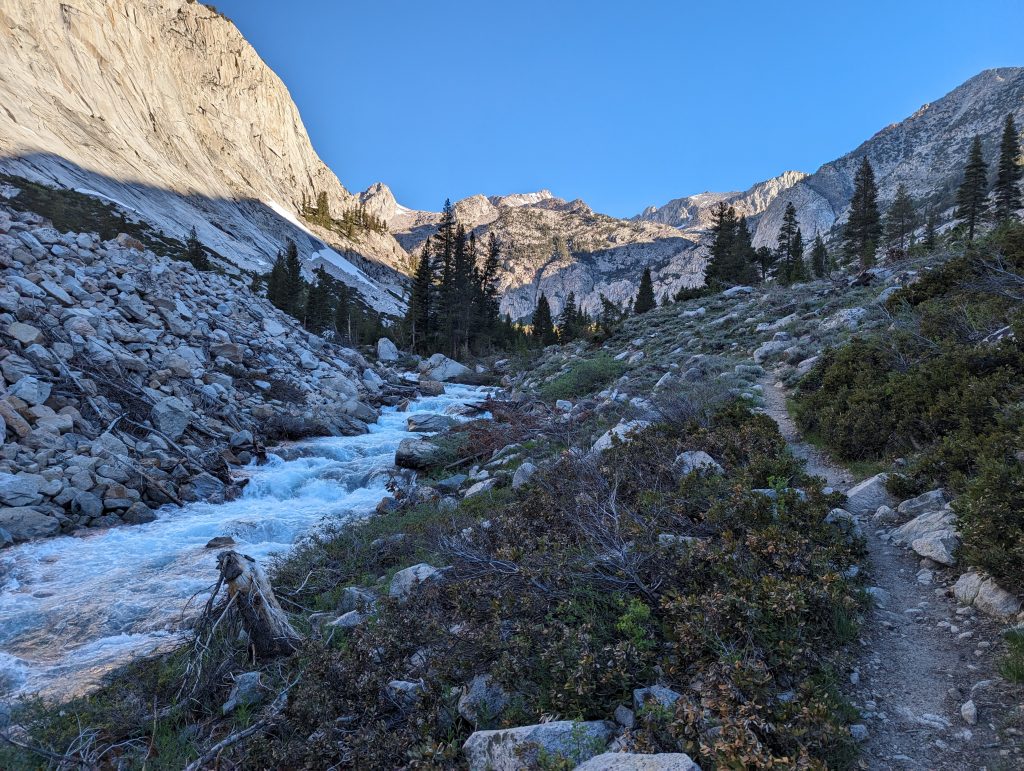
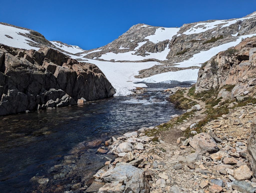
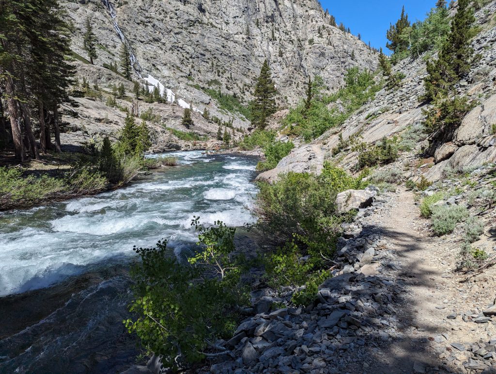
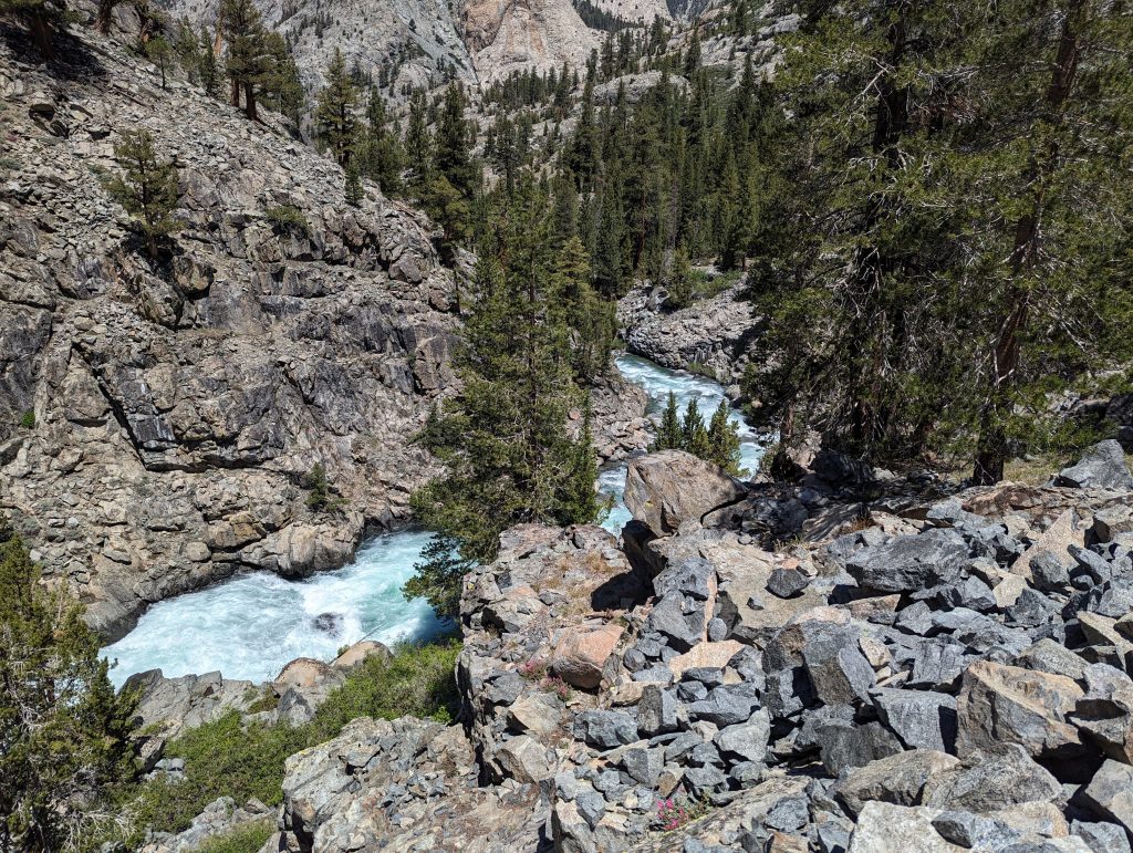
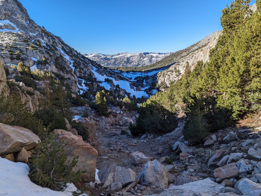
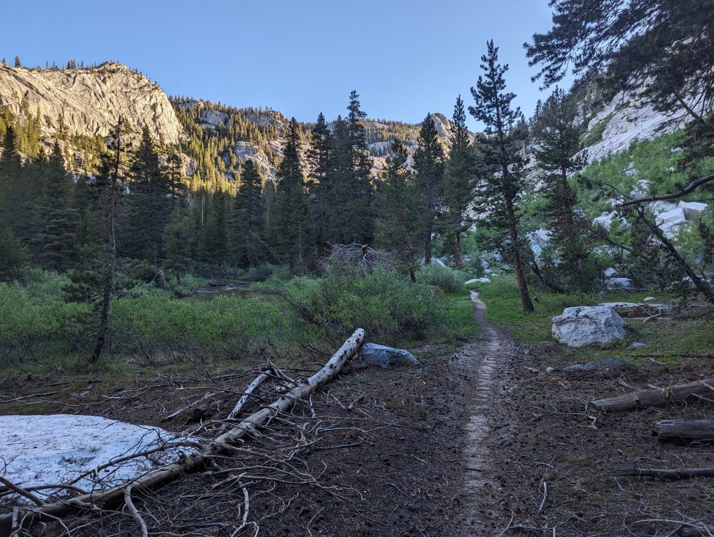
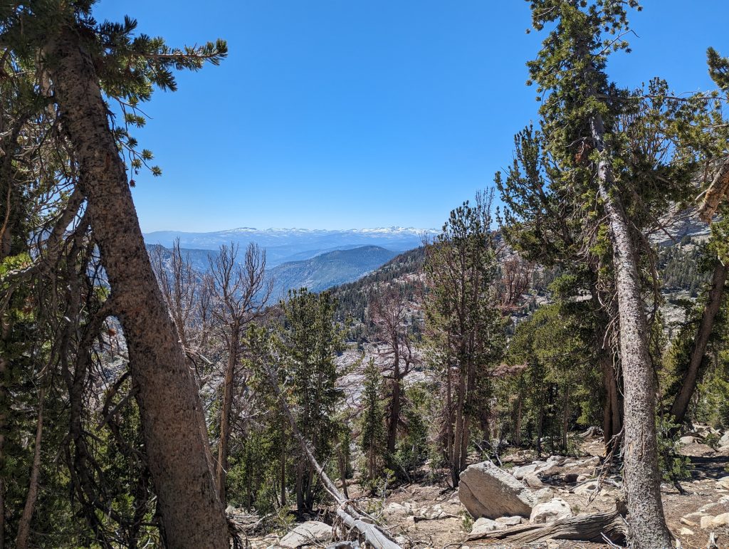
In the first few meters I continue to go downhill today and I can cross the small river on the slope again, which didn’t pose a major problem the day before yesterday.
After the cold foot bath, it goes down the last few meters to the forest. There I meet again on the PCT, which I immediately follow up the mountain.
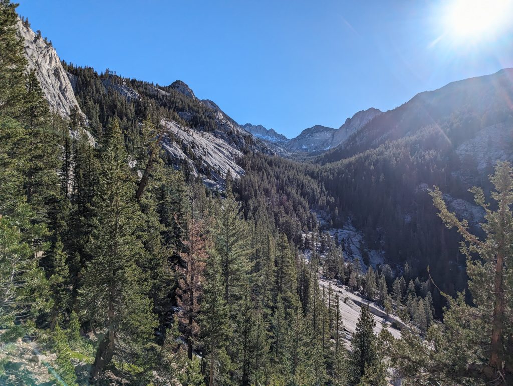
For a long time it’s uphill along the water. Sometimes through the forest and sometimes over rock.
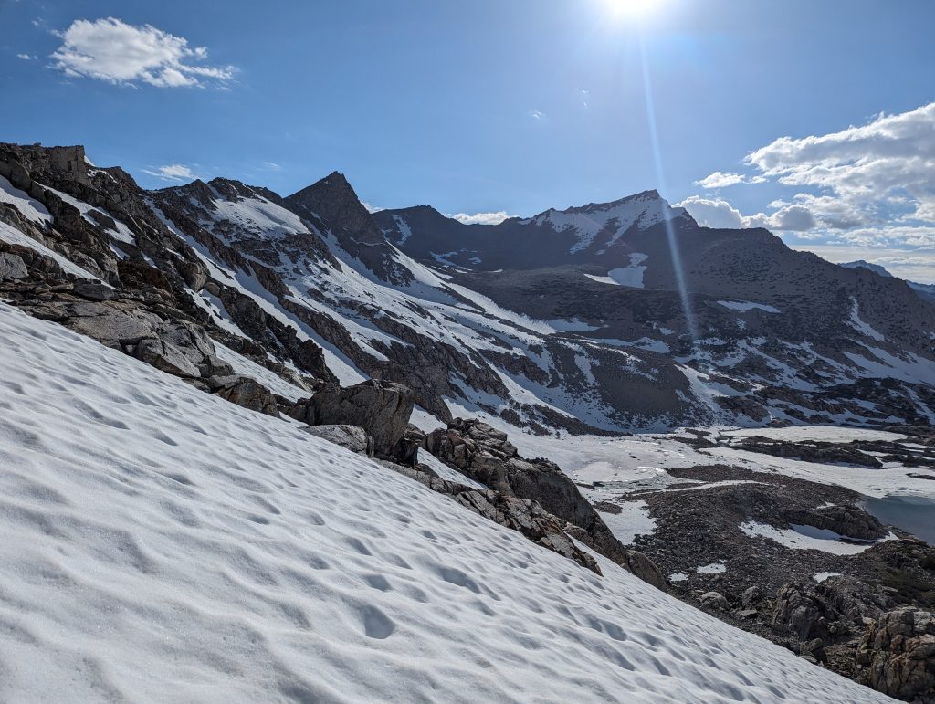
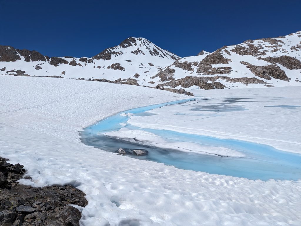
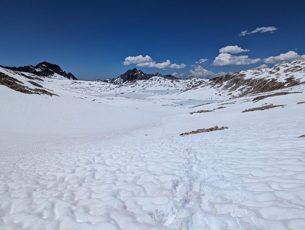
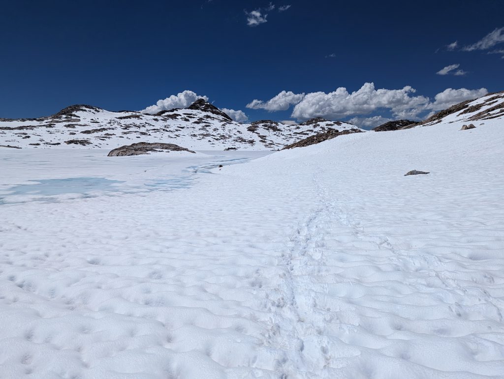
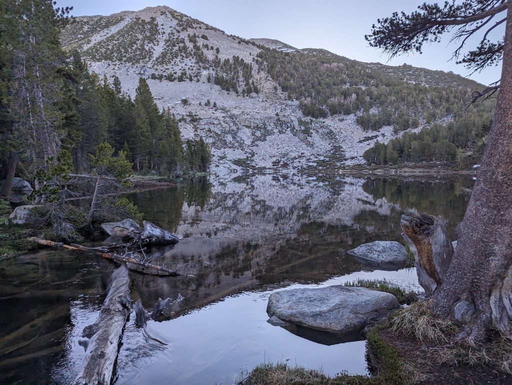
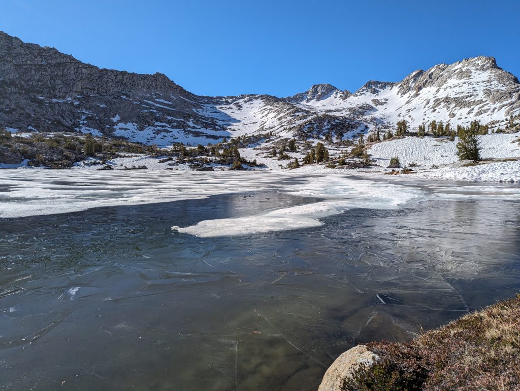
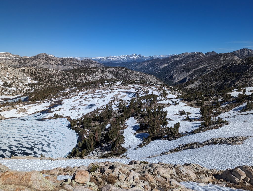
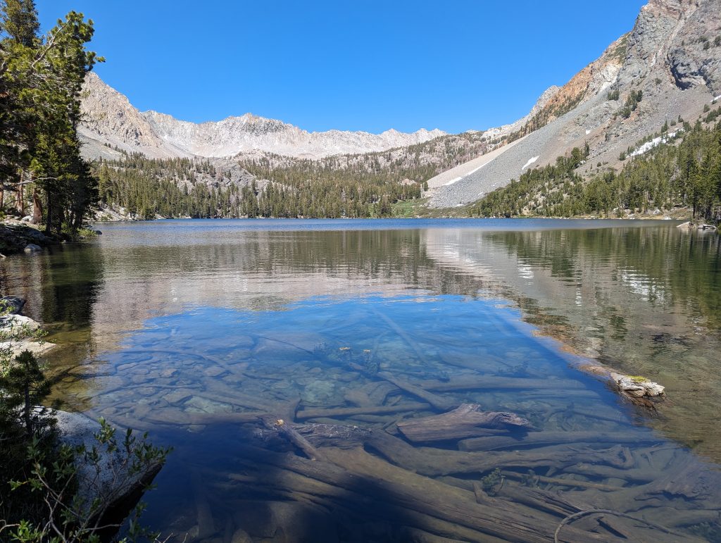
Then the snow starts again. Despite the warm temperatures, I can climb up fairly easily. It goes past frozen lakes and sometimes under the ice rushing rivers.
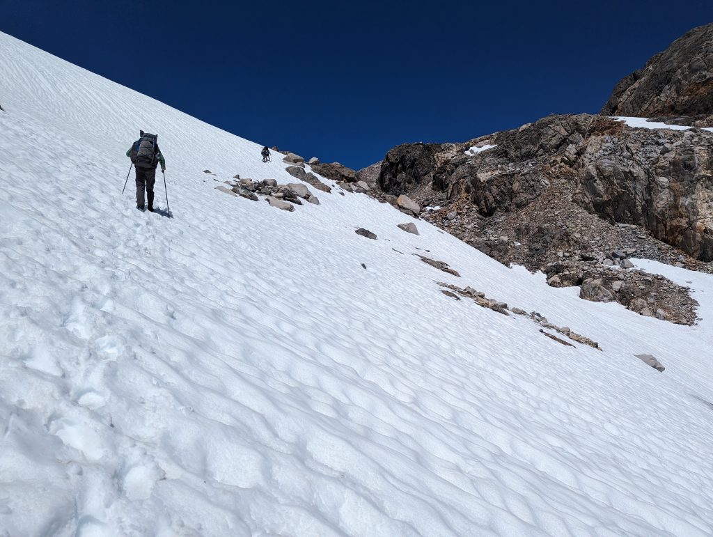
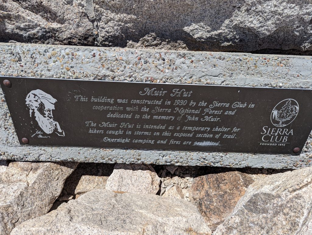
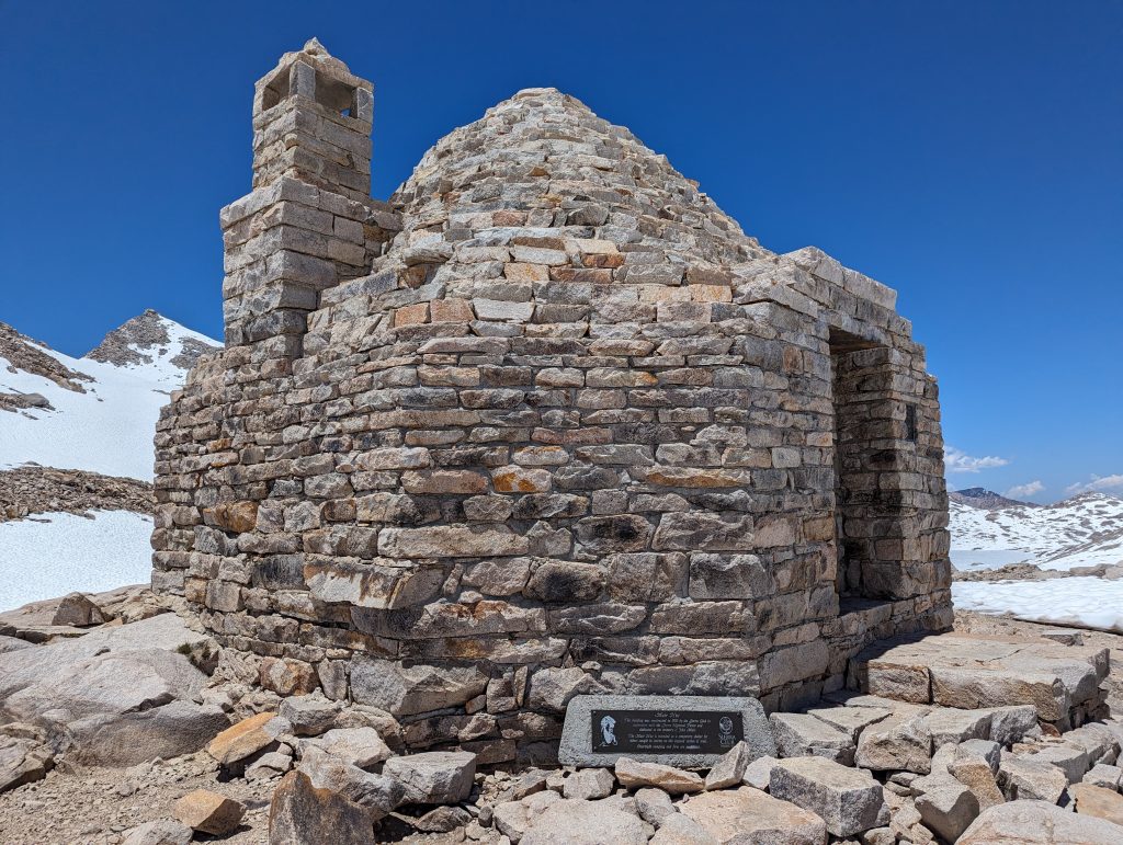
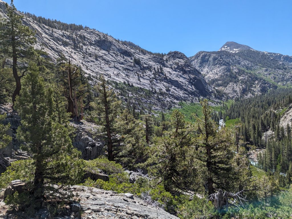
The last few meters of altitude to the summit are then a little steeper in the snow, which is also a bit more strenuous. Shortly after 12 noon I reach the John Muir Pass.
There is a small Italian-style refuge, dedicated to John Muir, an important person in relation to the discovery and protection of nature.
Here I take a longer break with other hikers with whom I have risen some time. We eat something and rest a little from the ascent. After about 45 minutes, I say goodbye to the group again and start the descent, as it will certainly take some time.
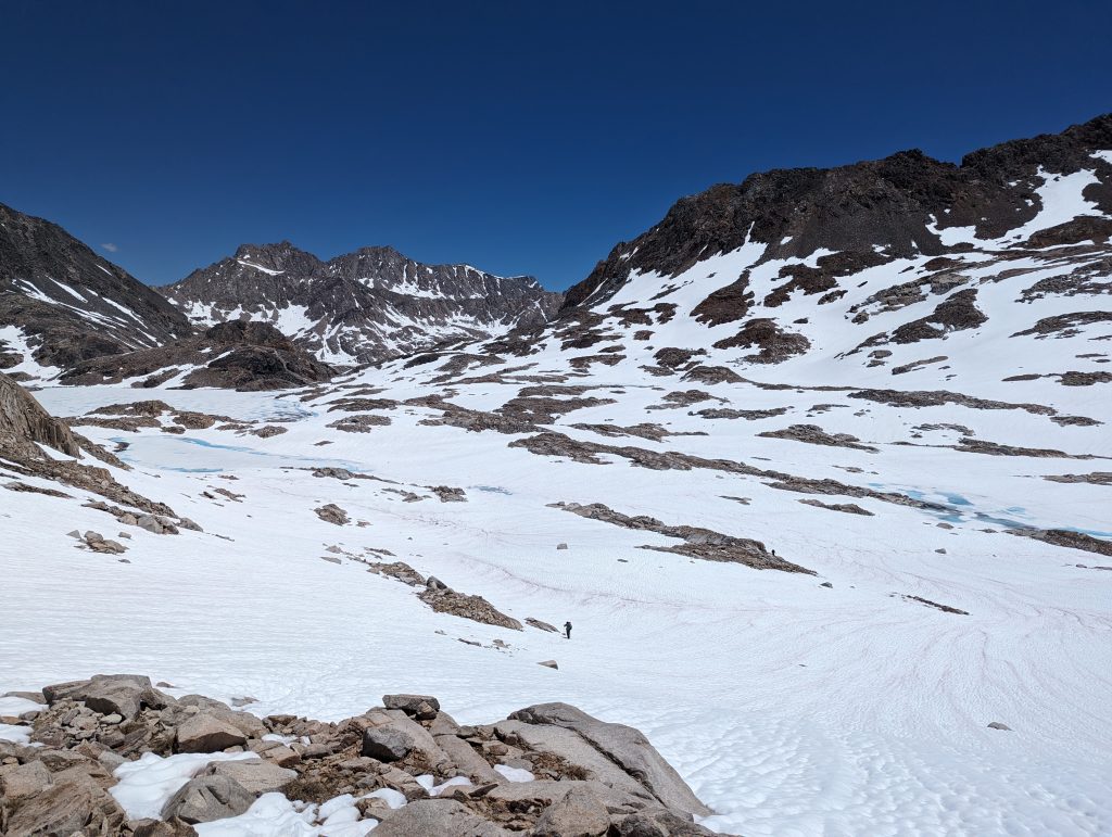
For more hours I’m going downhill through the meanwhile very muddy snow, although I keep sinking in the snow to my hips in between. The descent is actually quite exhausting and I’m making very slow progress. Even if the landscape looks beautiful, running on the very soft snow is not necessarily much fun.
I’m all the happier when the actual path is finally visible again, even if it continues to alternate with snow and ankle-deep water.
Only after a small crossing of the river, where I can at least use stones and thus only get my feet wet, does the path get a little better again. But it took me a few hours to complete a few miles. I’m a little faster on the road again, but I also feel the exertion of running in the snow.
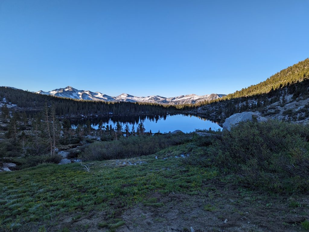
At a water point, I fill up my water around 5 p.m. and build up my tent in a suitable place a mile away. While my socks and shoes dry in the evening sun, I cook something for dinner. Later come the other people in the group I took a break with this afternoon. We sit together a little more and go back to sleep after sunset.
Day 48 – 28.5 km – Thursday 13.06.2024
For today, the alternative route ‘Over the Top’ is on the program, which is supposed to lead me around the broken bridge. Like the others in the group, I get up at half past five. I’ll have a short breakfast and then start walking.
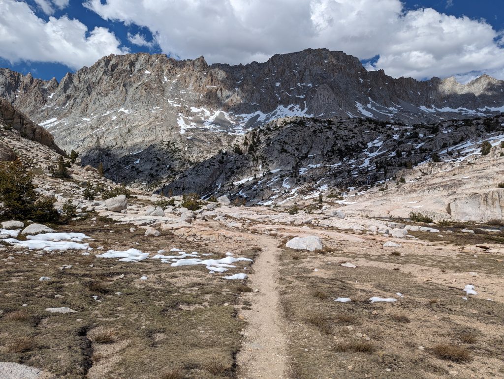
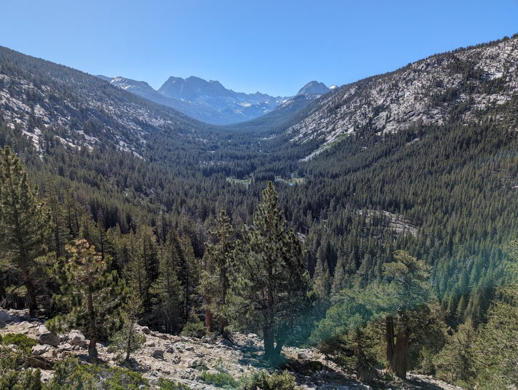
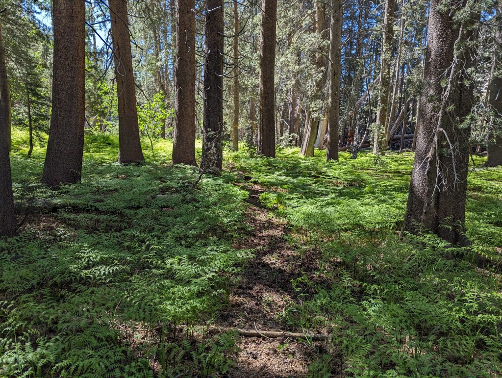
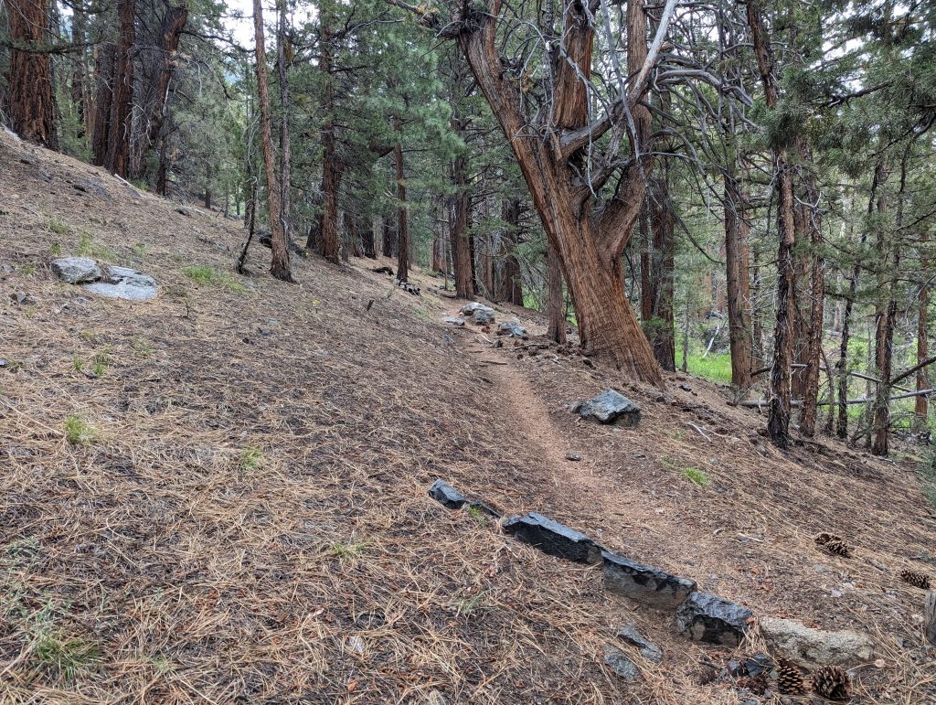
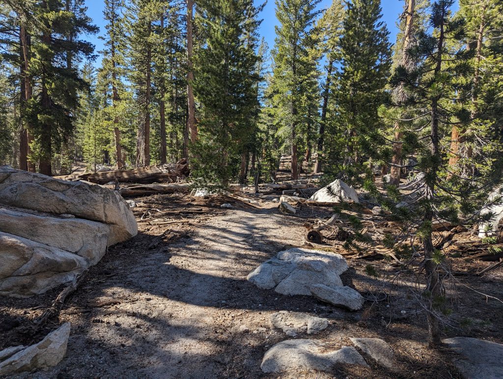
It goes relaxed down the mountain through the forest and soon I will be able to catch up with the first people who left before me.
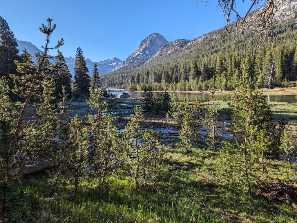
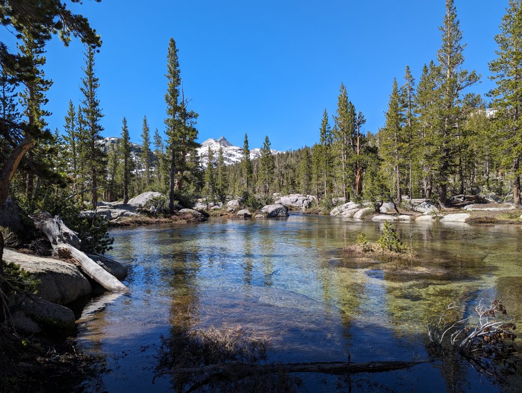
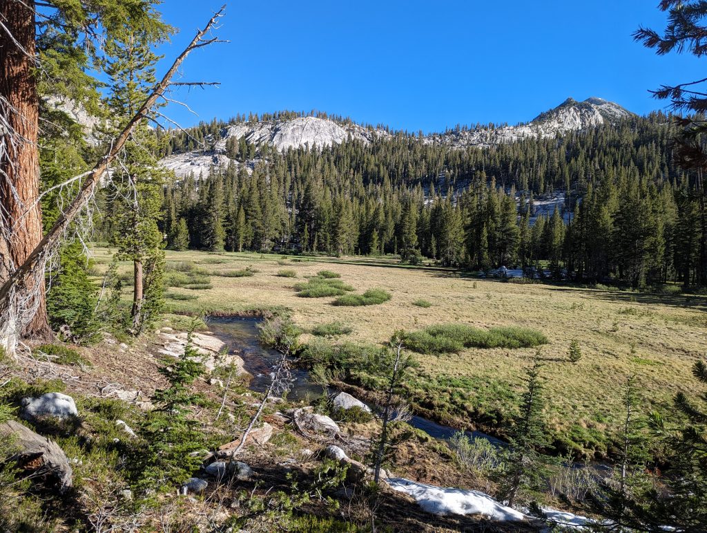
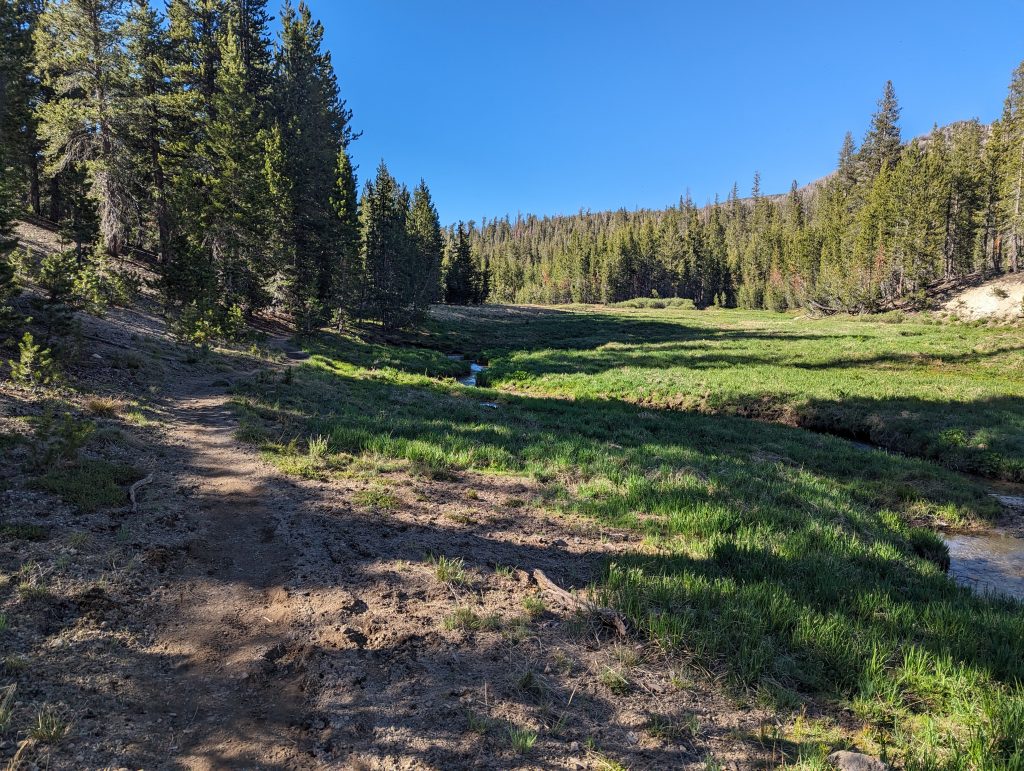
Further down it goes through the forest and I pass small lakes and meadows, which look very nice.
After 5 miles I reach the last camp on the official trail. Here I take a second breakfast break. The others in the group eat their first real meal here, but I only have a few snacks. Since I still have a lot of distance ahead of me today and it’s going uphill right now, I’m on my own on the way after a few minutes.
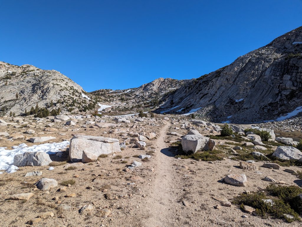
I turn off the path and walk straight up the slope of the mountain. After just a few meters I stowed my hiking poles on my backpack, because I can climb the rocks better with my hands. It goes up quite steeply for a while and every now and then I pull my arms up, which is not particularly easy with the heavy backpack on the back. Nevertheless, I gain height very quickly and get a good look down.
Since I’ve been cross-country more often, climbing on the rocks doesn’t bother me much. The route I have on my cell phone is also very rough, which is why I’m just looking for a good way up myself. After climbing the steep mountain for about half an hour, I reach a slightly flatter spot. From here it is not far to the top.
Once there, I continue to walk to the best of my knowledge. Here, too, I keep climbing up and down rocks. When I look at my cell phone at some point, I realize that I’ve already lost a lot more height than planned, but that’s not a bad thing either.
At some point I will reach a small stream, which is my marking. From here I have to descend a little in the other direction. The descent is also quite steep, but I lose altitude very quickly and soon arrive in a flatter forest.
Here I meet a larger group of hikers who seem to have chosen a different route than me. Together we walk the remaining meters downhill before we come back to the PCT trail just before the river of the valley.
All in all, it took me almost 2 hours for this detour, which was faster than expected. However, it was about 300 meters up the mountain and down a little more on the other side. At least I was able to bypass the broken bridge over the river through this detour and only missed about 2 miles of the PCTS. The official route would have cut off almost 30 miles. Back on the way, I walk another 3 miles.
Shortly after 12 noon, I turn off at a camp and take a lunch break there. First I take a little nap to recover from the strenuous detour. Then I eat something and set off again.
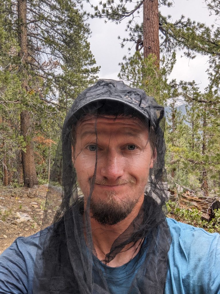
It continues through the forest, while dark clouds slowly gather above me that look like thunderstorms. I don’t take breaks in the forest today because there are so many mosquitoes that I can’t stand for 10 seconds without being attacked by 20 mosquitoes. At some point I even pull my mosquito net over my head and later I walk on with a rain jacket, although it’s not raining.
This is followed by another long climb, which makes me sweat a lot with my rain jacket, but that’s still better than being riddled with mosquitoes. Further up, they then increasingly take off and in a place with a beautiful view I take a break.
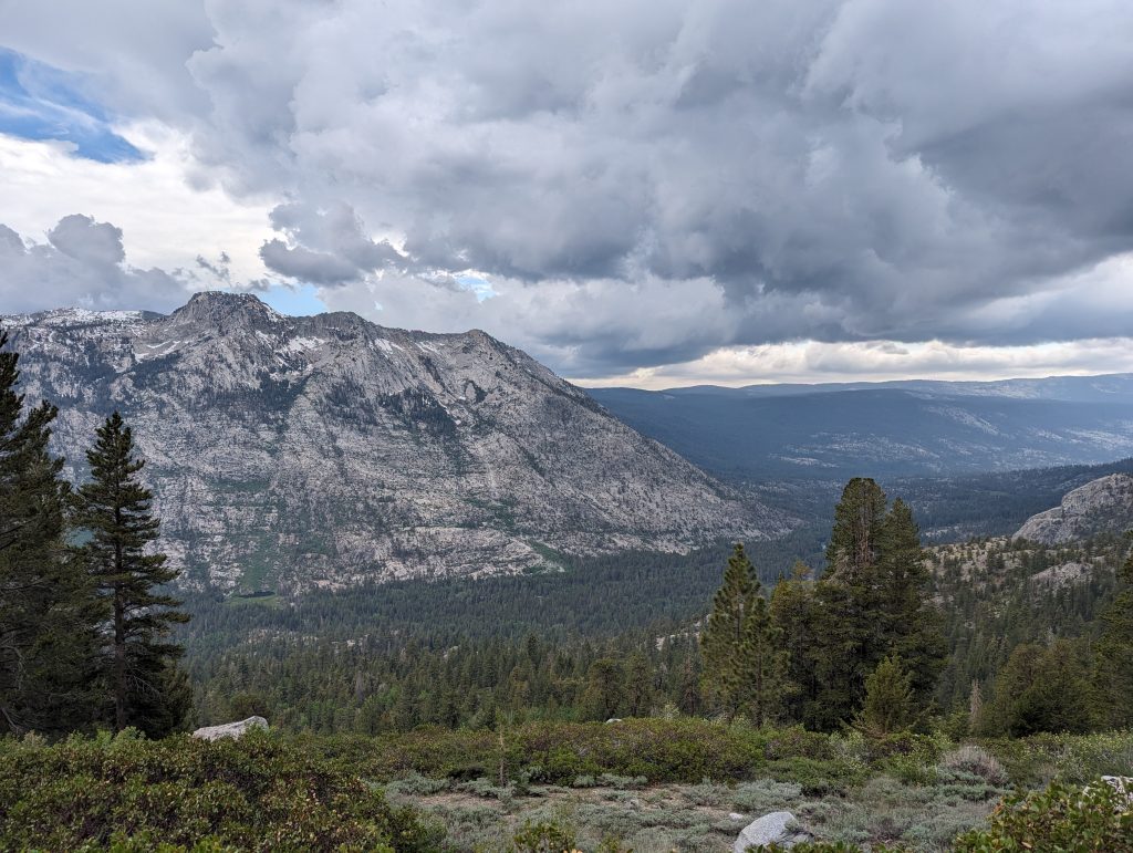
In the meantime I can hear thunder again and again and the sky is getting darker and darker. Since my targeted camp is still below the tree line, that should be harmless to me. So I keep climbing up and I feel that the alternative route was more exhausting than expected. After a while, I finally reach the camp that was targeted. There are already a few other tents here, with people all hiding in it, since it’s just starting to rain.
When I set up my tent and cook something to eat (today there is couscous with tuna) it starts hailing and I’m glad I can enjoy my food in the shelter of my tent. Since the weather doesn’t really get any better either, I stay in my tent for the rest of the evening and read a bit before I go to sleep.
Day 49 – 32.3 km – Friday 14.06.2024
When I take down my tent in the morning, I’m alone on the square. The others are already on the road and so I enjoy my coffee in peace and quiet.
After that it starts for me again. It continues uphill, since it is with theseldenPassportthere is a pass to overcome again today.
After a short time I gain height and get a good look back.
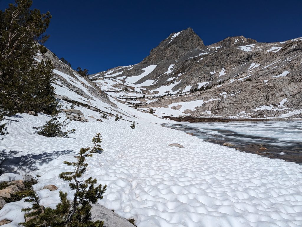
On my quick climb I overtake the first other people. I climb further over snow and scree and reach the highest point of the pass when the sun rises.
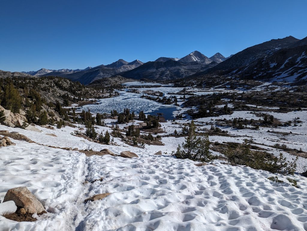
From here it goes downhill again with microspikes through the snow. The landscape in front of me, which is characterized by snow and frozen lakes, looks fantastic again today.
Over time, the snow decreases a bit and it continues through greener landscapes.
In order to avoid two major river crossings, I take a detour with another hiker, which first leads us up to a small lake and then down again.
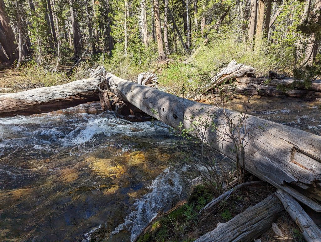
This saves us two exhausting rivers and can continue hiking with dry shoes. After a last walk over a larger tree trunk, I reach the PCT again and can continue to walk relaxed.
For a long time you walk along the water through the forest. I’m making good progress on the less varied route. The path leads me downhill through the forest, which is very pleasant in the shade of the trees.
On the other hand, there is another rise towards me. But this one is less exhausting than expected and so I will soon reach my sleeping place today.
Shortly after 5 p.m. I set up my tent and have dinner. After that I rest and go to sleep early.
Day 50 – 37.5 km – Saturday 15.06.2024
I’m running shortly after 6 a.m. There is not much left of the many tents from yesterday. Apparently I’m one of the last ones to leave.
It goes directly uphill in the forest and after a short time I meet a first river that can be crossed. Since the water is high and I don’t feel like a cold crossing of the river in the morning, I’m looking around for an alternative way. As I read in the app (Farout), there seems to be a tree trunk below that I can get to the other side. So I walk down the mountain again and actually find a trunk further down, but it seems a bit small. Nevertheless, I make it to the other side and then it goes on uphill.
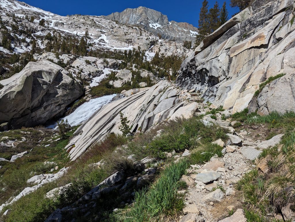
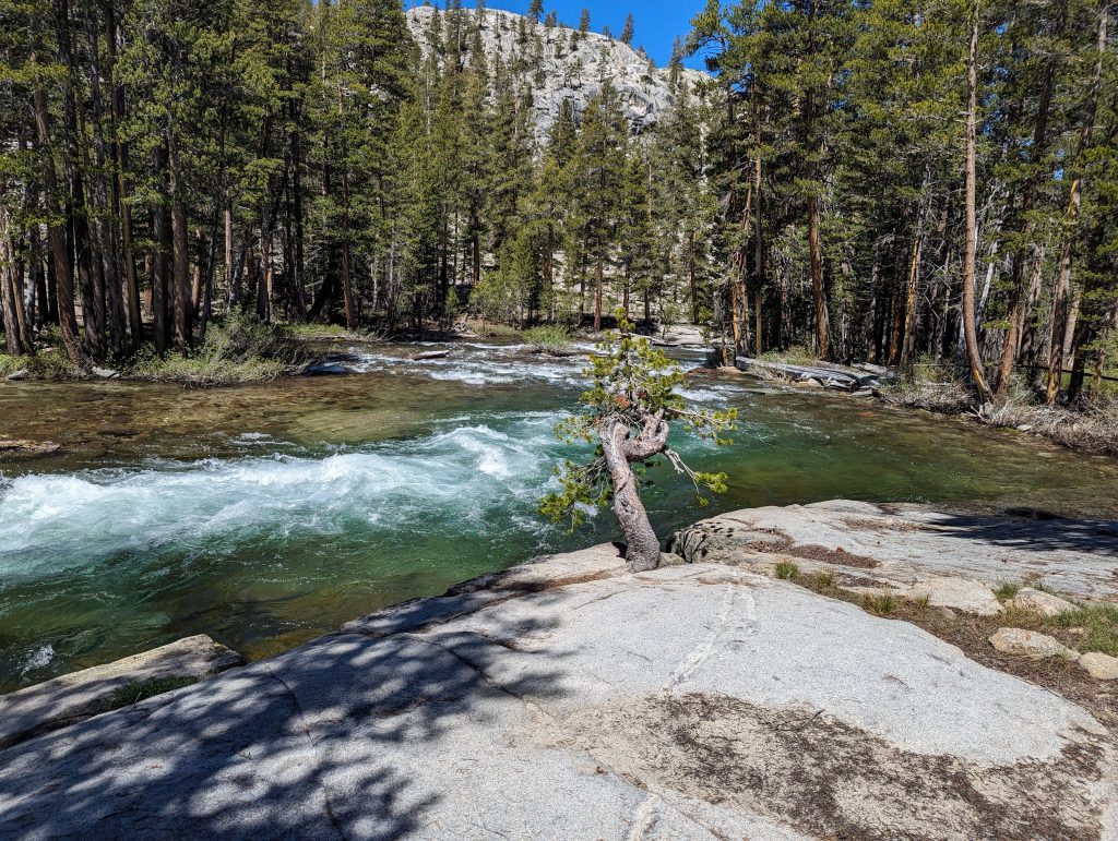
I pass a beautiful waterfall and keep walking up.
Soon the sun will come out and when I leave the forest, I’m back in the best weather. The path leads me further and further up the mountain to theSilver Pass.
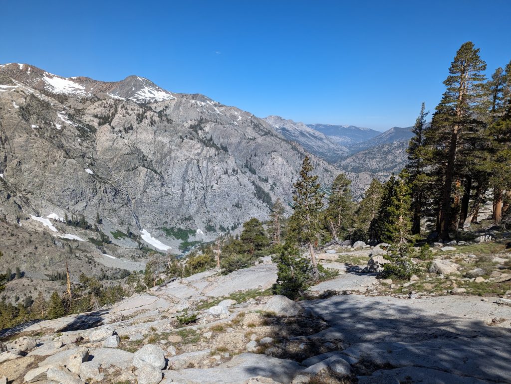
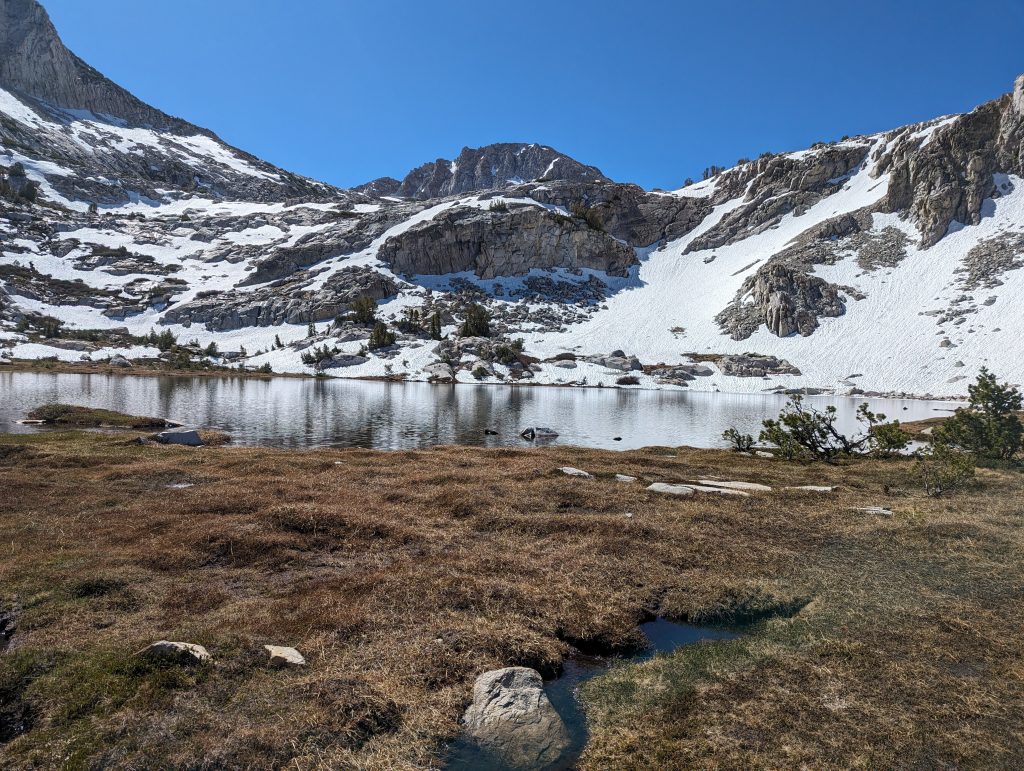
Here there is more snow again and a little above the pass I reach the highest point on a summit. From here I have a beautiful view of the landscape in front of me.
After a short break, I’m going downhill again in the snow. With my microspikes, I have a good grip in hard snow and can therefore descend quickly.
At a mountain lake I take off the microspikes again and then walk down on normal hiking trails. I’m making quick progress and over a bridge it goes over a river. On the other side there is another, longer climb.
At a beautiful mountain stream, I fill up my water and then run further up in the sun. After the longer climb, I take a one-hour lunch break in a quiet place.
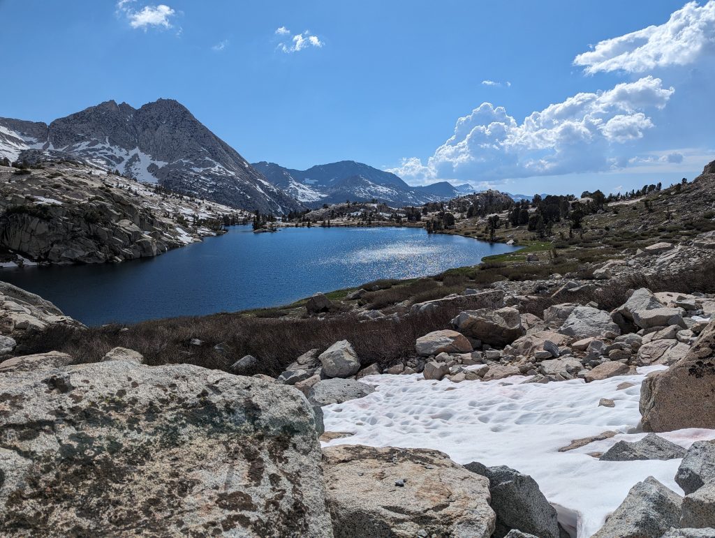
Then I come to another lake. Apparently the path leads more or less through the lake. With flip-flops I walk through the pleasantly cool water to the other side.
Here I hike again briefly uphill and then for a long time downhill to another lake.
Once there, there is another climb that leads me up again. The view is getting better again and in front of me I can see snow-covered mountains.
Shortly before the 900 miles mark I meet a hiker namedParanoia, with which I walk the last miles to the mark. There we take short pictures and then we continue downhill together. Since the pace is too fast for him at some point, I walk the remaining miles to today’s camp alone.
It’s still a while through the forest and at the end of the day I reach today’s camp. When I set up my tent and start cooking my dinner, comesParanoiato that. A little later comespotato, a Dutchman I’ve met more often on the trail and we all have dinner together and talk for a while before we disappear into our tents and go to sleep around 8 p.m.
Day 51 – 13.2 km – Sunday 16.06.2024
The night was very cold again. When I get up in the morning, I find it difficult to leave the warm sleeping bag. While I’m withpotatoBreakfast, he tells me, that he even had ice cream on the tent wall. After a hot cup of coffee, I set off with gloves and a hat.
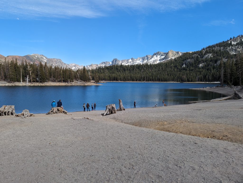
Today I only have thatMammoth Pass, which only includes 3.7 miles, in front of me. That’s why I walk uphill at a very fast pace through the forest. After about 50 minutes I reach one of the lakes in the area. Here I meet an older man who is walking his dog right now. He is very interested in how my hike is going. He himself has been with the mountain rescue service for over 20 years and is therefore well known in the area. He offers me to drive me and the others into town if we’re still there when he comes back with his dog.
A little later I reach the parking lot on the Trailhead. Since the first bus comes in an hour, the three of us will soon be sitting at the table again and waiting.
Luckily, a little later, the older man comes with his dog and takes us into town.
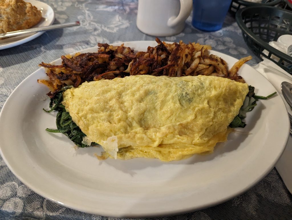
After almost 20 minutes, he lets us out at his favorite breakfast shop. Since we all three are very hungry, we go here for breakfast together. For me there is a delicious spinach-feta-omlett and finally real coffee again. After we ate extensively and talked longer, we go on. DuringParanoiawalks to a campsite, gopotatoAnd I shop.
First we go to a kind of wholesale and then again to a normal supermarket to close the gaps in food planning. Today I bought quite a lot of food and my backpack is correspondingly heavy. Unfortunately, not everything fits in my bear canister, so I probably still have to eat some of it today or take it with me to my tent.
Then we both go to Sturbucks and have another coffee there while we take advantage of the WLAN. Upload some pictures to my blog and update the hiking app(farout).
By the time we’re done with everything, it’s almost 3 p.m. We’re going to a Latino shop together to have lunch there. For me there is a delicious burrito and a coke.
When we’re almost done with the food, comesChaos, a hiker I’ve talked to in Bishop with. We also talk to her a bit and meanwhile I get a trail name that I like. Since I’ve only had a zero-day so far, i.e. a day without hiking, which is very, very little (some take a break day a week) and I want to go back to the trail today, call meChaossimply ‘No Zero‘Since I like this name, I’m probably as soon asNo Zeroon the way.
But soon I have to say goodbye because I want to catch the last bus to the trail.potatoAccompany me on the first bus ride, as his accommodation is not far from my transfer station.
There he walks to his room and I wait for the bus back to nature alone.
On the bus ride, I talk to the bus driver for longer because he is from Switzerland and moved here 20 years ago because of his wife.
On the trailhead he lets me out and I’ll walk again over theMammoth PassBack to PCT.
After a little over an hour, I reach the trail and after a few more minutes I stop at a campspot. Here I set up my tent and then go to sleep soon.
Survey
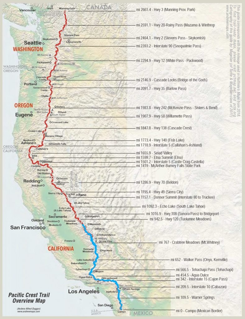
Here is a short overview again. In the meantime, I’ve actually left 900 miles behind me and have already completed more than a third of the route to Kannada. Even if that’s a long distance, I still have a lot ahead of me. The trail is slowly getting easier again and I can run more kilometers a day, which means that I should pick up some speed again.
I’ve managed the most difficult part of the Sierra and have already (or only) crossed half of California (the state is really huge).
Leave a Reply