Day 74 – 51.2 km – Tuesday 09.07.2024
I get up early and eat oats. Apparently I didn’t buy any coffee and therefore have to start running without it. Since I gave up my bear canister and this is mandatory for an overnight stay in Lasen National Park, I have to cross this section in one day and is therefore in a hurry in the morning. The 27 miles should be doable though.
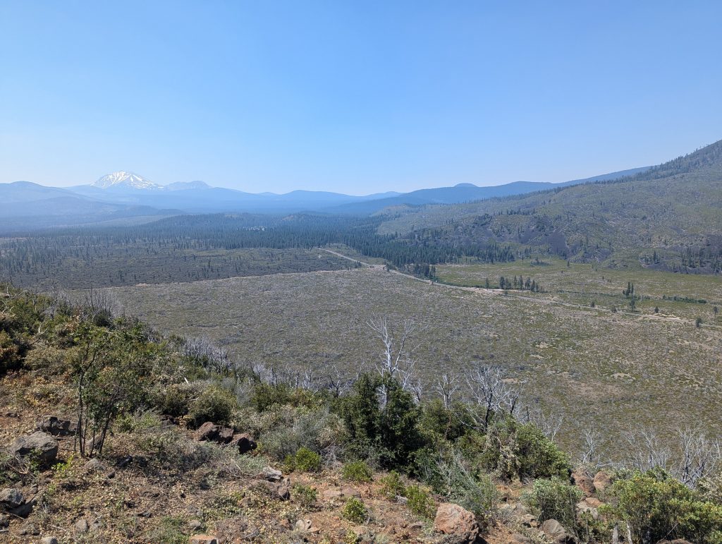
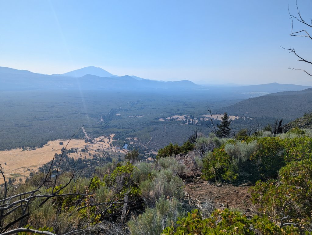
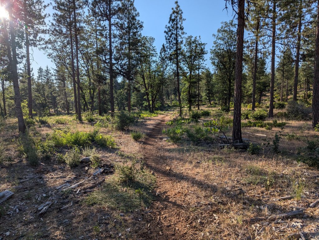
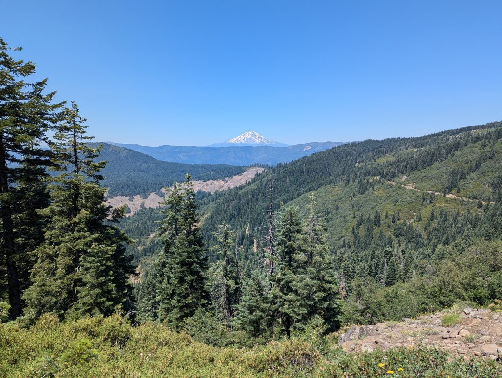
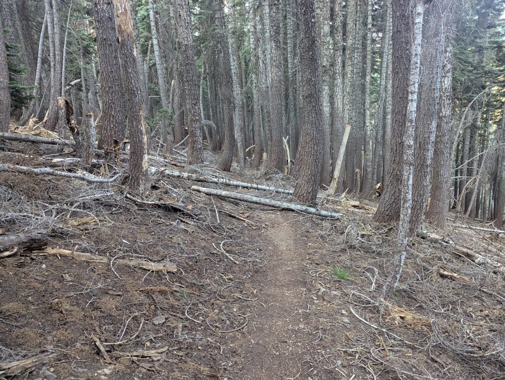
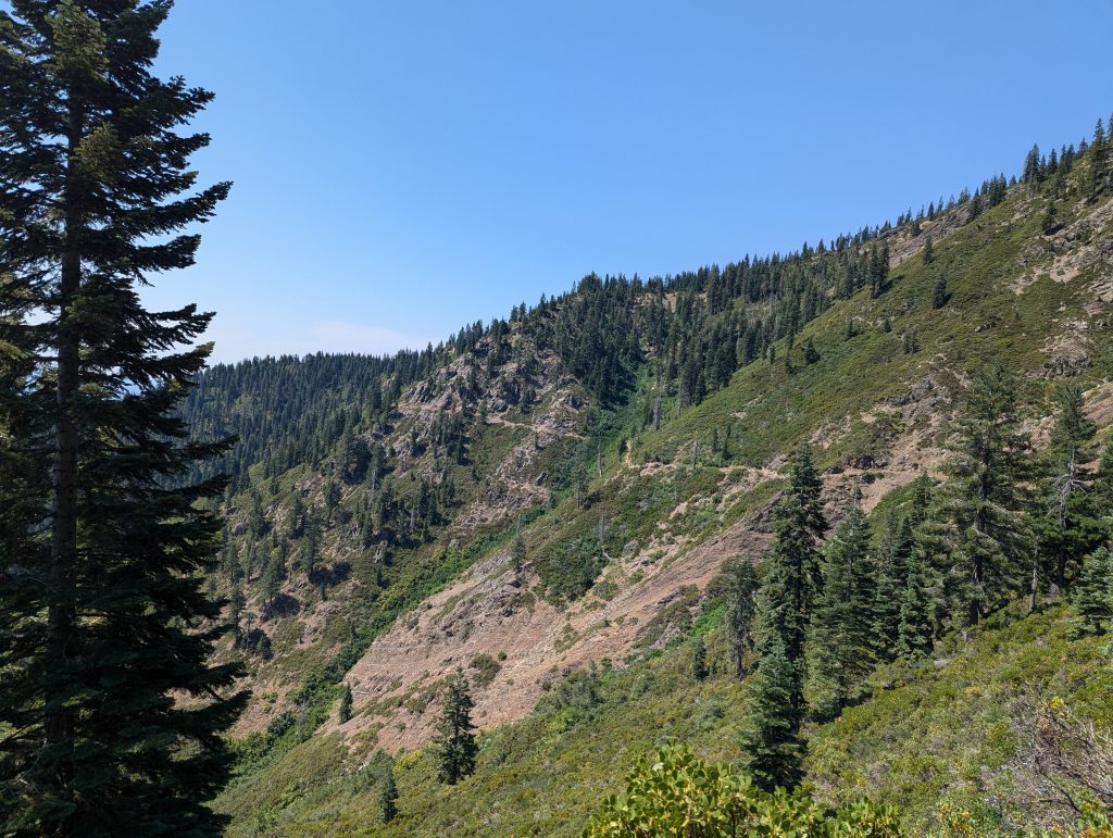
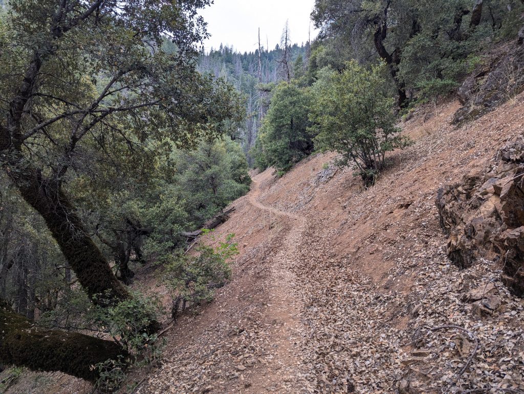
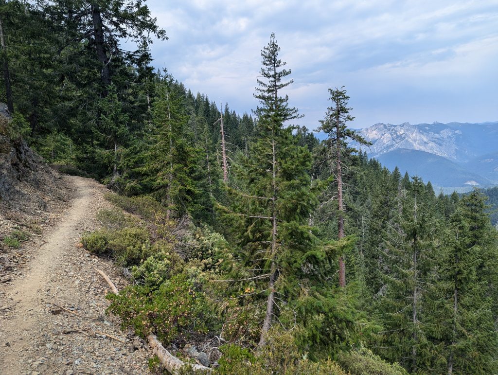
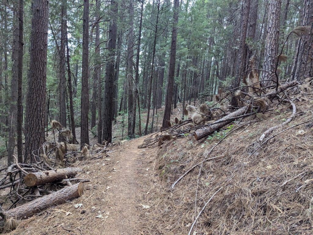
At first it goes downhill through the forest. Next to me I can see a snow-covered mountain in between, which I would like to circumnavigate more or less today.
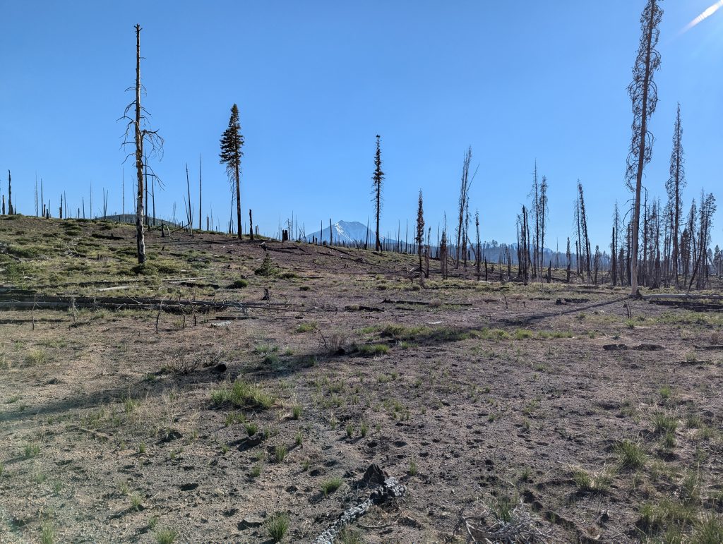
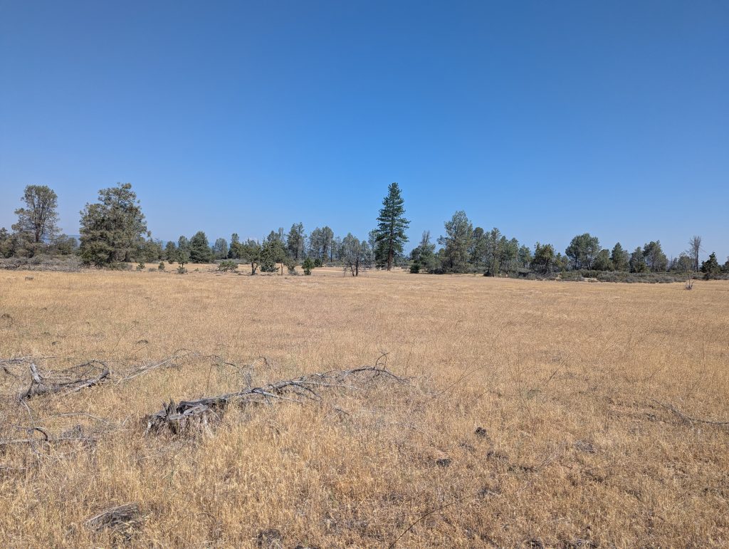
Further down it goes briefly through grassy landscapes and I can already see the first burnt trees again.
I pass an old campsite, which has been closed since the devastating fire a few years ago. Actually, there are beautiful volcanic lakes in the area, but since the fire only a few tourists have come here and many sections are closed.
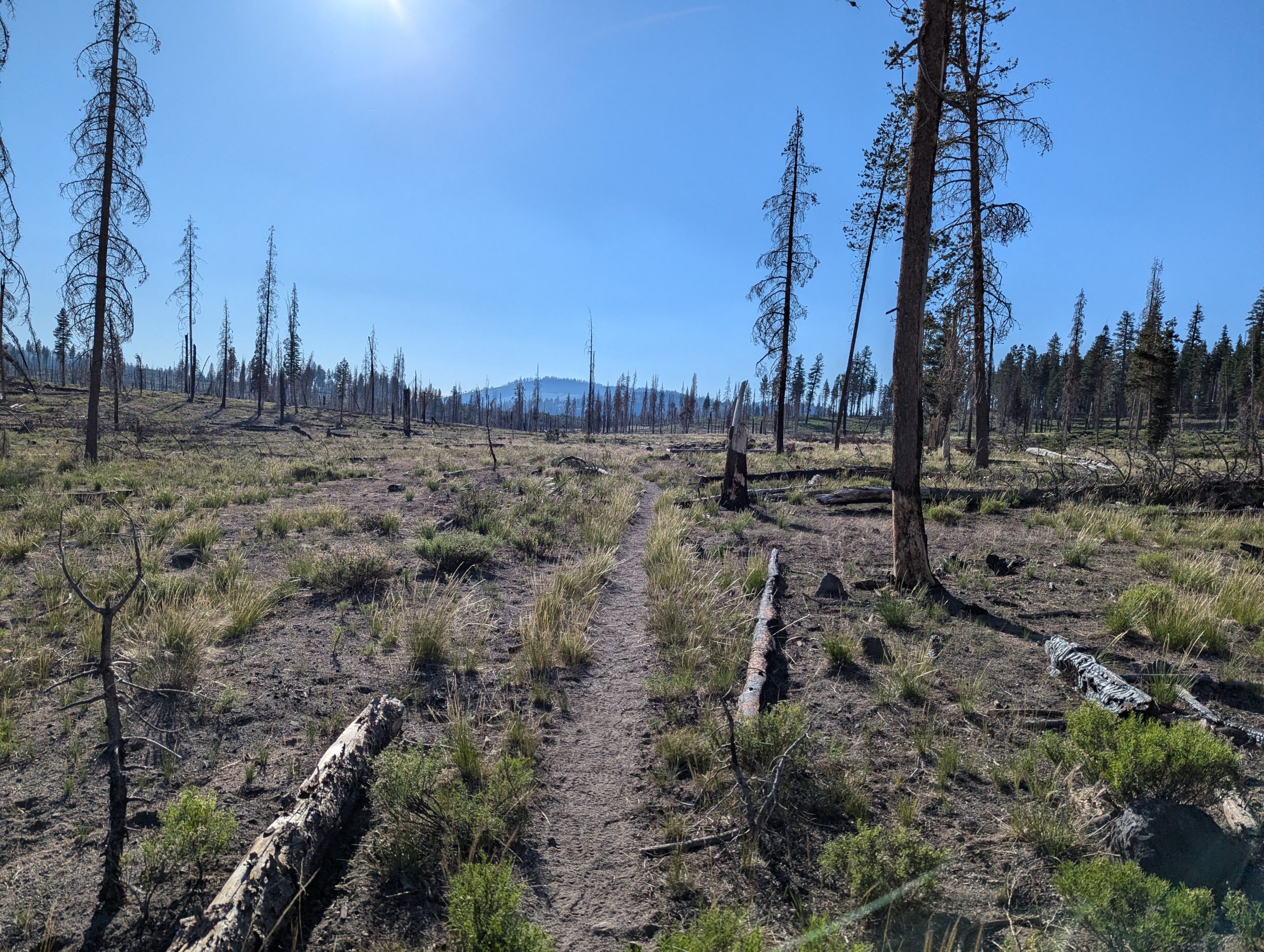
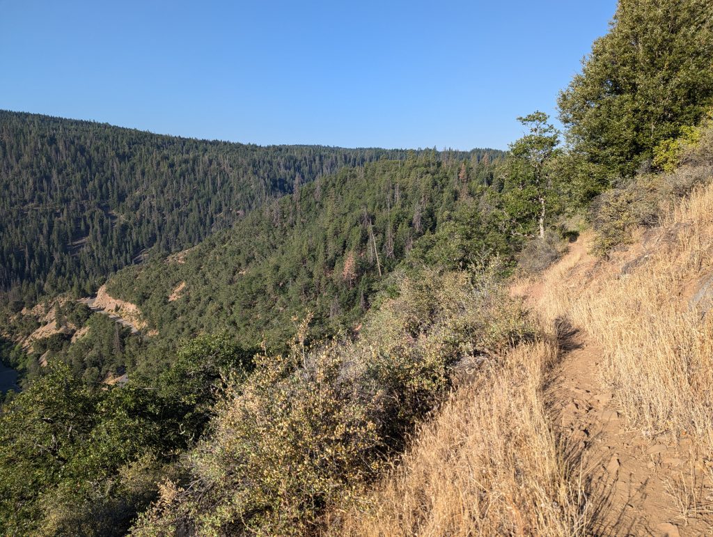
For me, it goes uphill through the burned forest and I feel the heat of the sun early on.
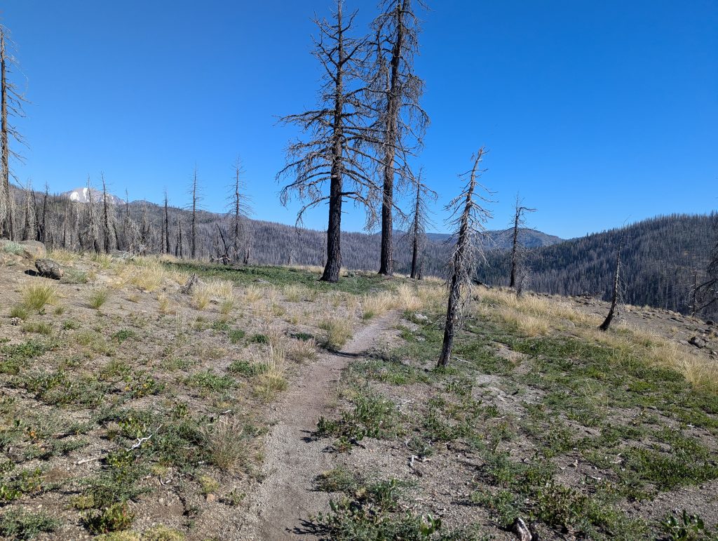
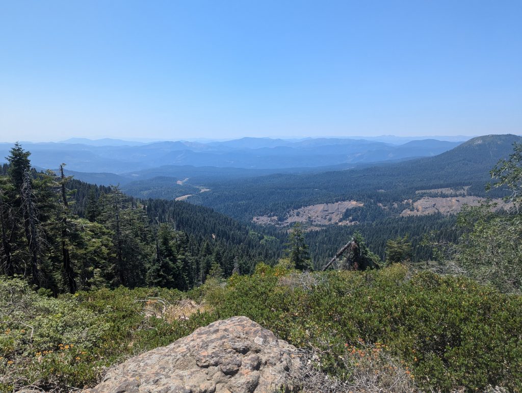
Further up I can look up the hills of the area and hardly see a living tree. The sight is in a way sad, but will accompany me permanently today.
After the ascent, it goes further down to a river, where at least some trees on the water have survived and thus provide shade. Since it’s already noon, I’m taking a longer break here in the shade of a tree to sit out the midday heat, because in the next few hours I’ll continue through the dead forest, so I’ll probably be exposed to the warm sun permanently.
After two hours I’m slowly on my way back. In the meantime, even in the shade, there are over 40 degrees here, which I can feel directly in the sun.
I switch to the other side of the river via a tree trunk, which is really very wide and therefore easy to walk on.
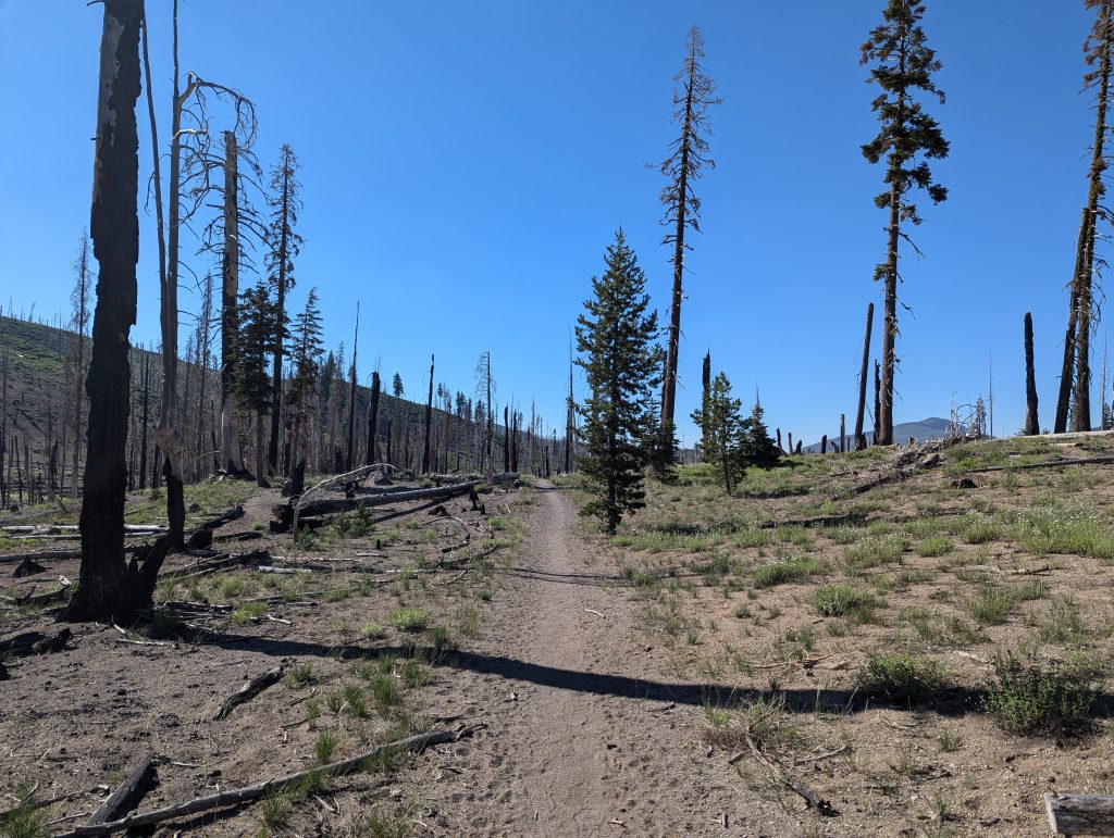
Here it goes for me for several hours through the black wood and from above the sun literally burns down on me, which makes me no fun at all. But since I know that I have to go through, I trot through the desolate landscape a bit with difficulty. There isn’t much variety and doesn’t happen much either. It just keeps going on for a long time due to the heat.
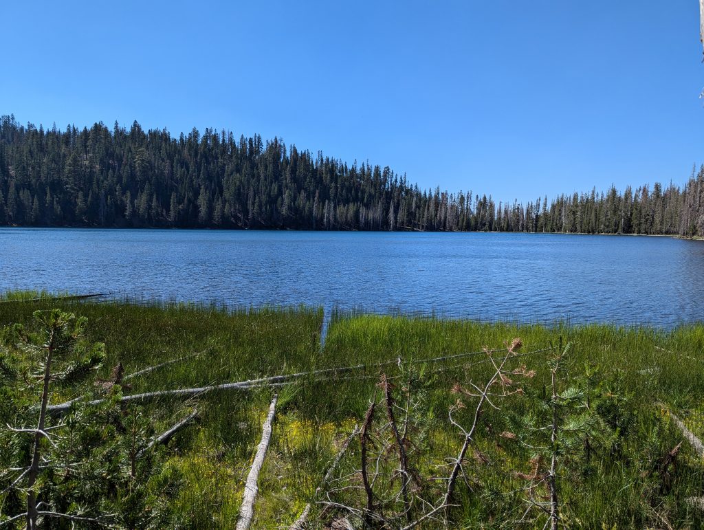
At some point I’ll pass a lake where I can at least fill up my water and meet some other hikers who don’t enjoy today’s tour as much as I do.
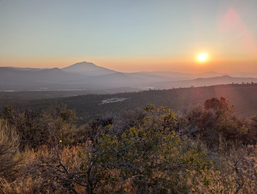
Then it goes on through an always the same picture. Only the sun slowly starts to set and noticeably loses power, which makes running more pleasant.

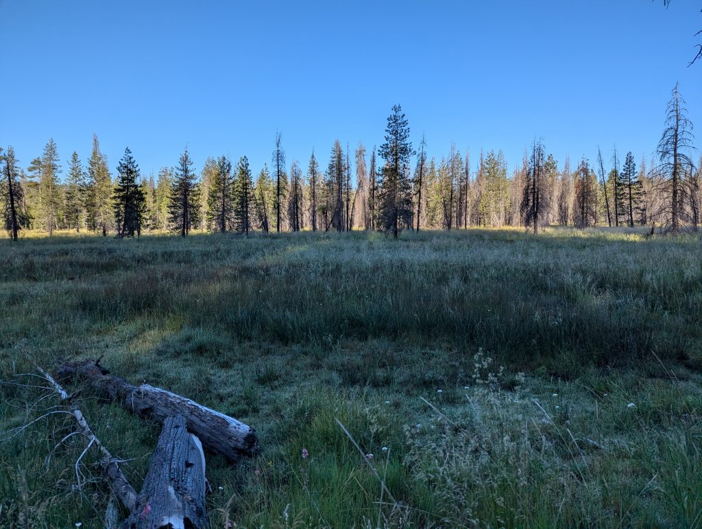
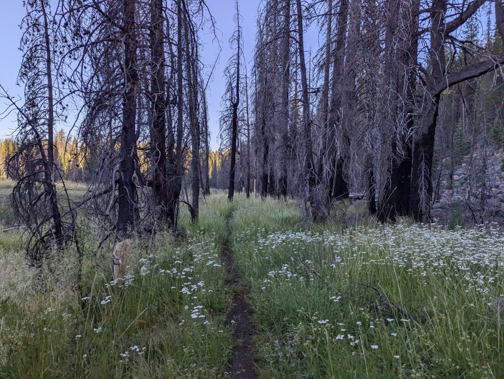
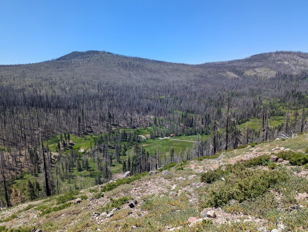
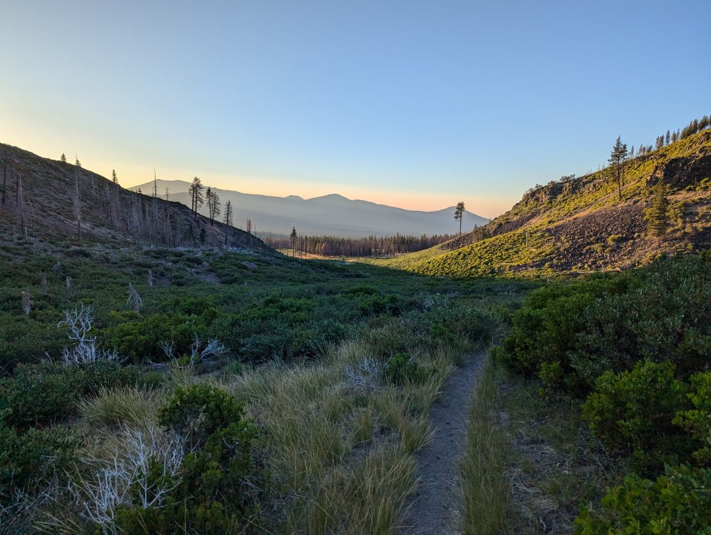
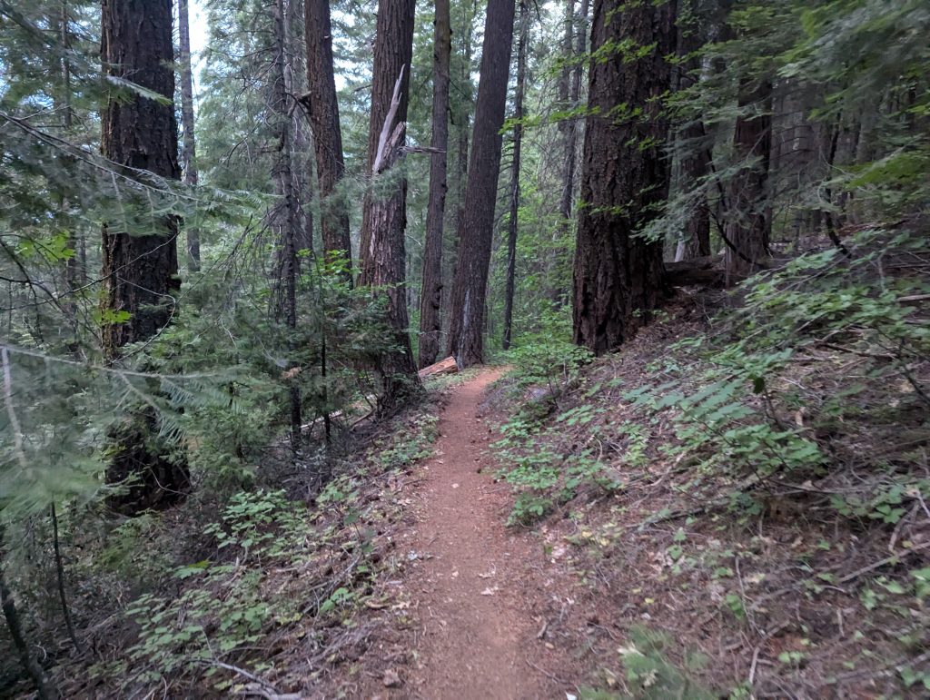
In the evening I see a real, green forest from further up, which, in contrast to the previous landscape, almost seems like paradise.
Here I continue at dusk and only reach my targeted camp around half past 10 in the evening. After all, I managed almost 32 miles again today.
After I ate something quickly, I go to sleep right away. Since I can’t notice any mosquitoes, I’m leaving my tent in my backpack again today and I’m quickly ready for the sleeping bag.
Day 75 – 41 km – Wednesday 10.07.2024
Today I wake up early and set off quickly.
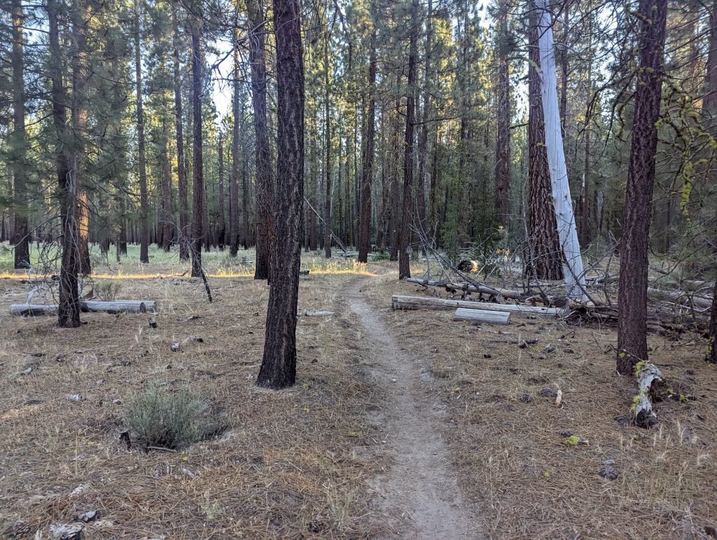
At first it goes relaxed through the forest and soon I reach Old Station, a small gas station with a café next door. There I eat delicious pancakes and buy coffee powder at the gas station.
After that I walk past a ranger station where there are apparently baby clapper snakes to see. When I look at the box, I have to smile and am happy that the rangers here have a sense of humor.
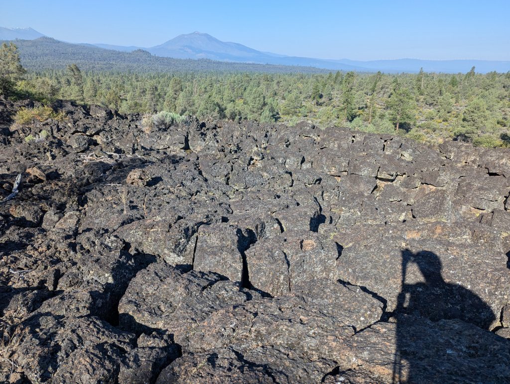
I walk on to a lava cave, which I then look at from the inside. The former lava flow has formed a great cave here where it is pleasantly cool. I walk through the long tunnel with a headlamp and look at everything. When I’m done with that, I fill up my water at a well and set off again.
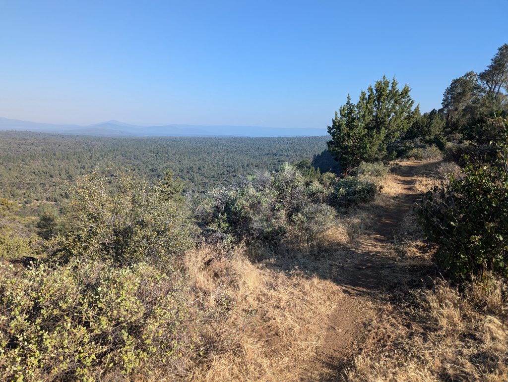
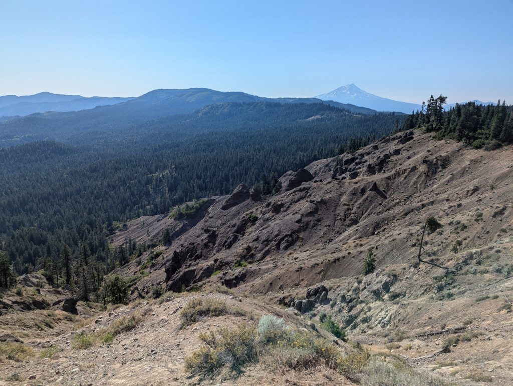
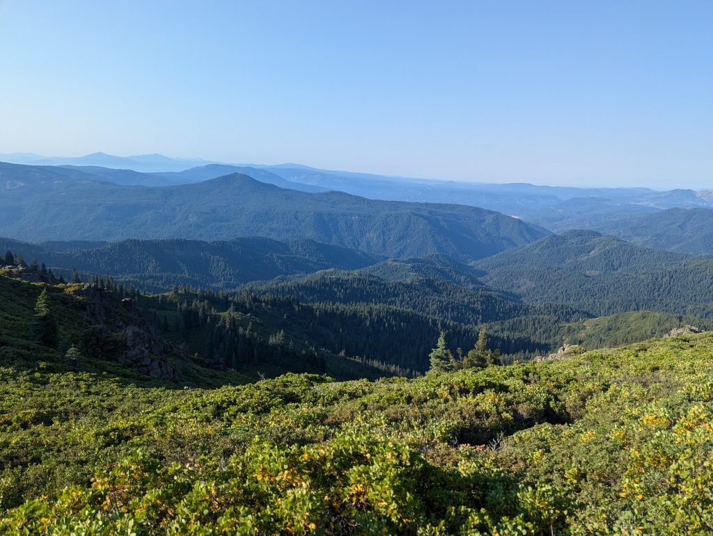
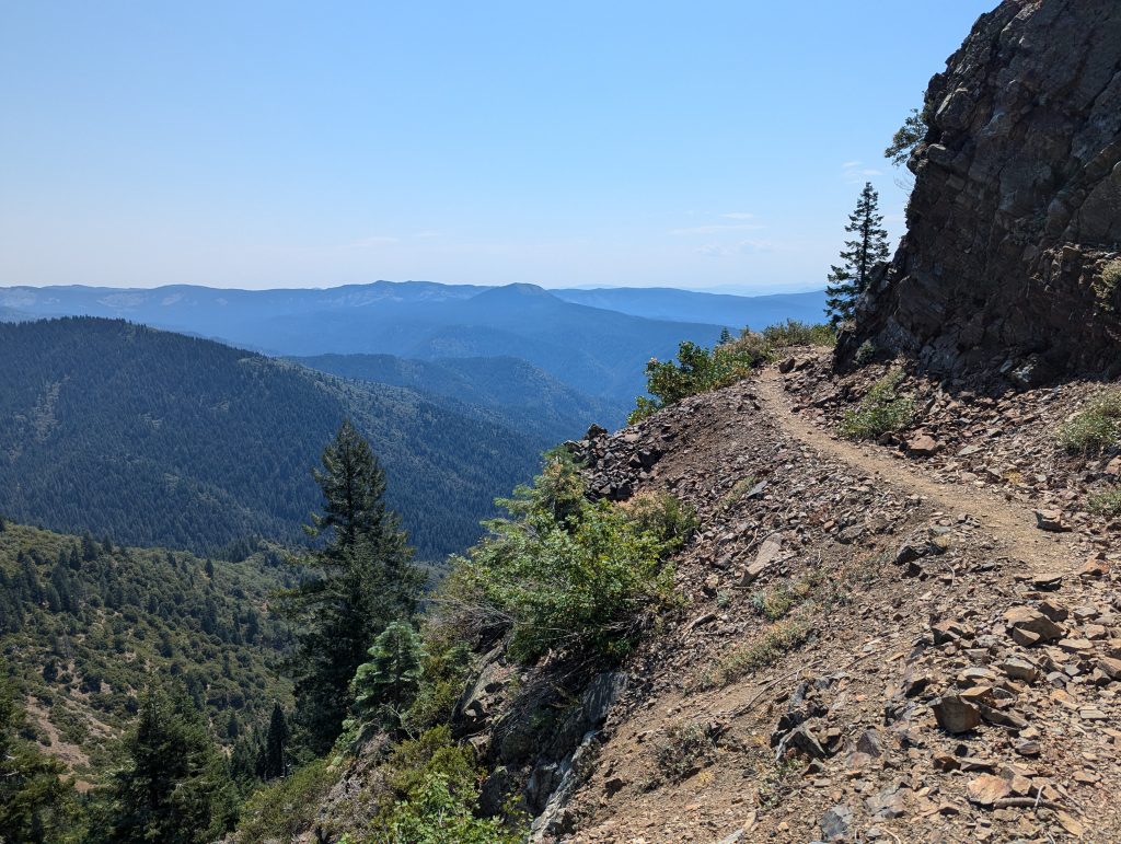
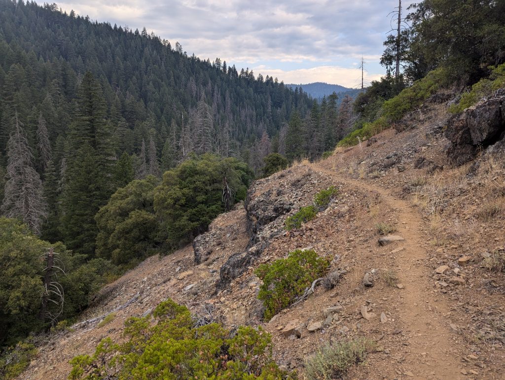
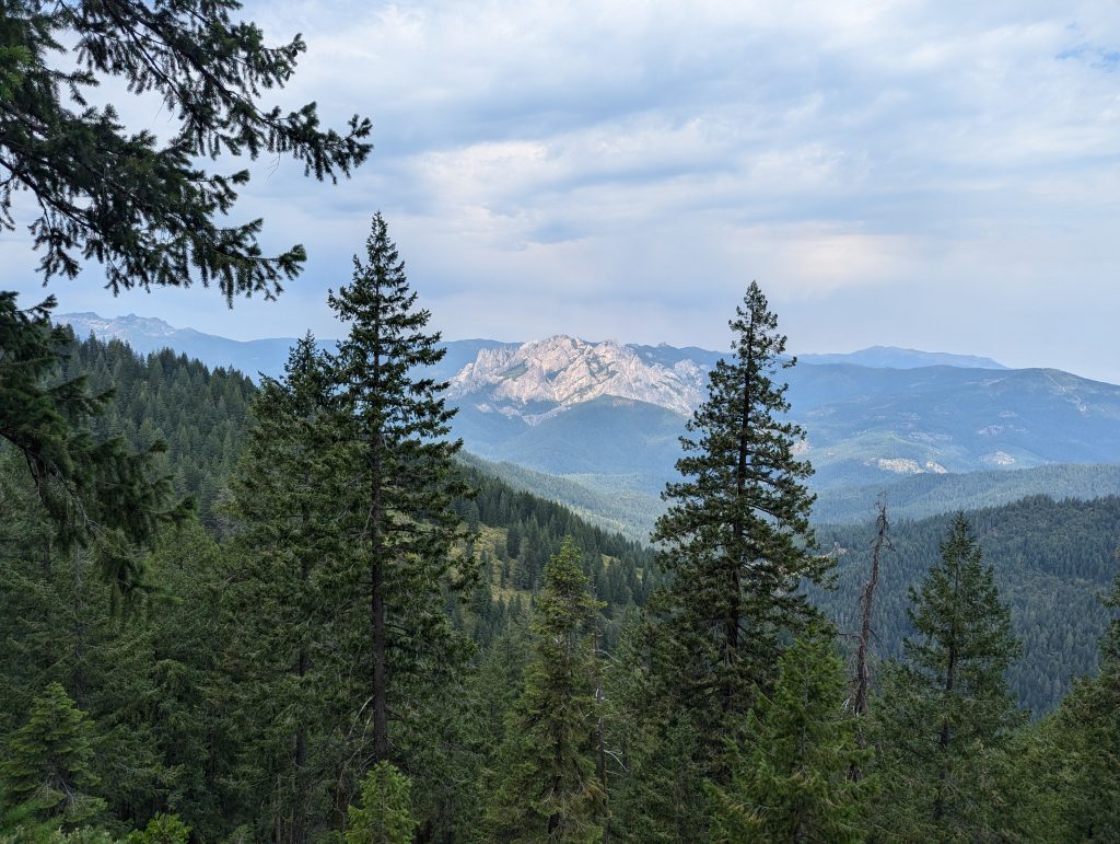
It’s now almost 12 o’clock and I have to go up the mountain in the burning midday sun. After all, the climb is not particularly long and I have a good view of the surroundings from above, even if the view is very clouded by the smoke from the forest fires in the area.
At a small parking lot not far from here, I take a longer lunch break. Fortunately, an older man who also distributes fruit to PCT hikers comes. So I eat a banana, take a nap and talk to the man for a while. After a 2-hour break, I’m on my way again.
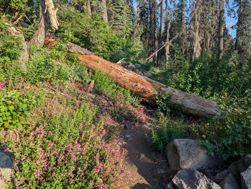
I gain a little height and look at the surroundings, which, in contrast to the dead forest of the last day, looks a lot nicer. Unfortunately, the heat is retained and so I sweat a lot even with the easy-to-running path. But there are still almost 10 miles to the next water point, which I still have to complete today.
I sat down at a shady spot for a few minutes and drink something. Just as I wanted to go on, a nice young Dane comes by and joins me. As it turns out, she ran the PCT in 2022, but had to skip the current section due to the fire and has now returned to complete it. In contrast to me, it is currently running from north to south. After a nice, long conversation, I set off again after about 1.5 hours.
In the meantime, the power of the sun has already subsided a bit, so running is much easier for me than before the break. I quickly cover the last few miles to the water point and can enjoy the beautiful landscape.
Shortly after 8:30 p.m. I reach the water tank, which provides me with drinking water here in the dry landscape. I fill up my bottles and decide to stay right here. So a few meters away I settle down and quickly cook for dinner before I go to sleep again.
Day 76 – 40.4 km – Thursday 11.07.2024
I wake up just before 6:00 in the morning. I’ll get ready right away and fill up my water again. Then I start without breakfast, so as not to wake the other sleeping ones here.
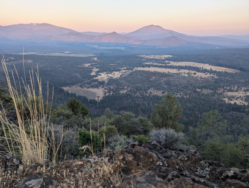
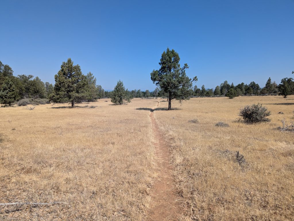
It goes straight on like last night and I have a good view of the forest to my left, which stretches a little deeper through the valley. With the rising sun, the landscape looks very beautiful and I make good progress on the easy walking path.
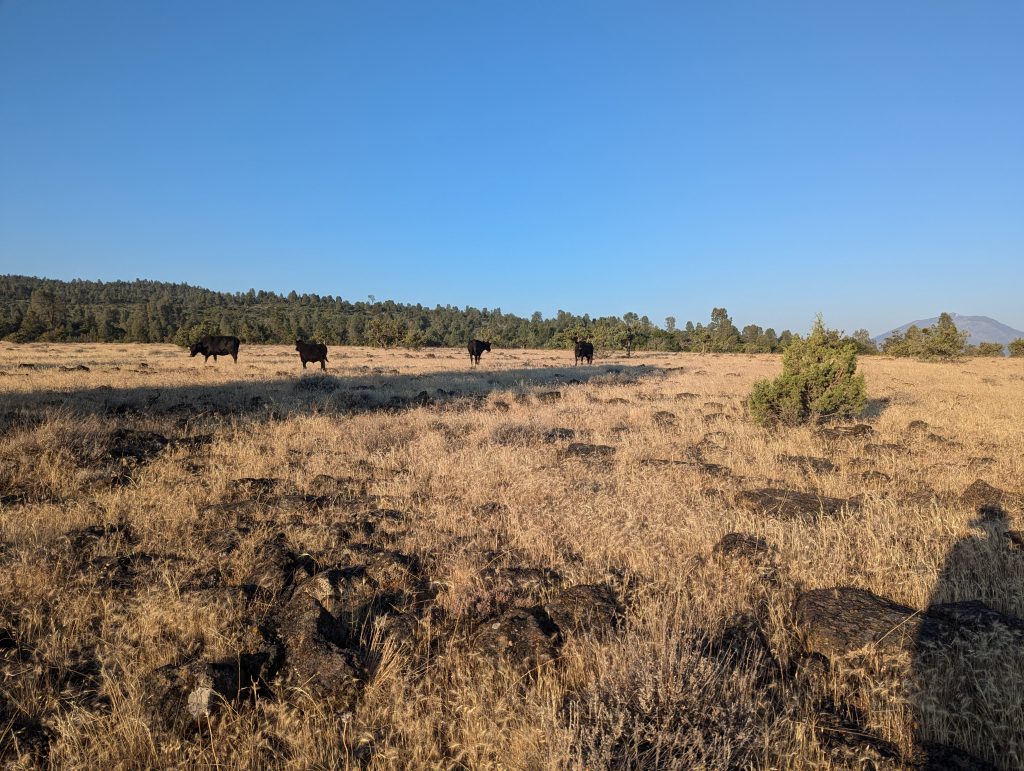
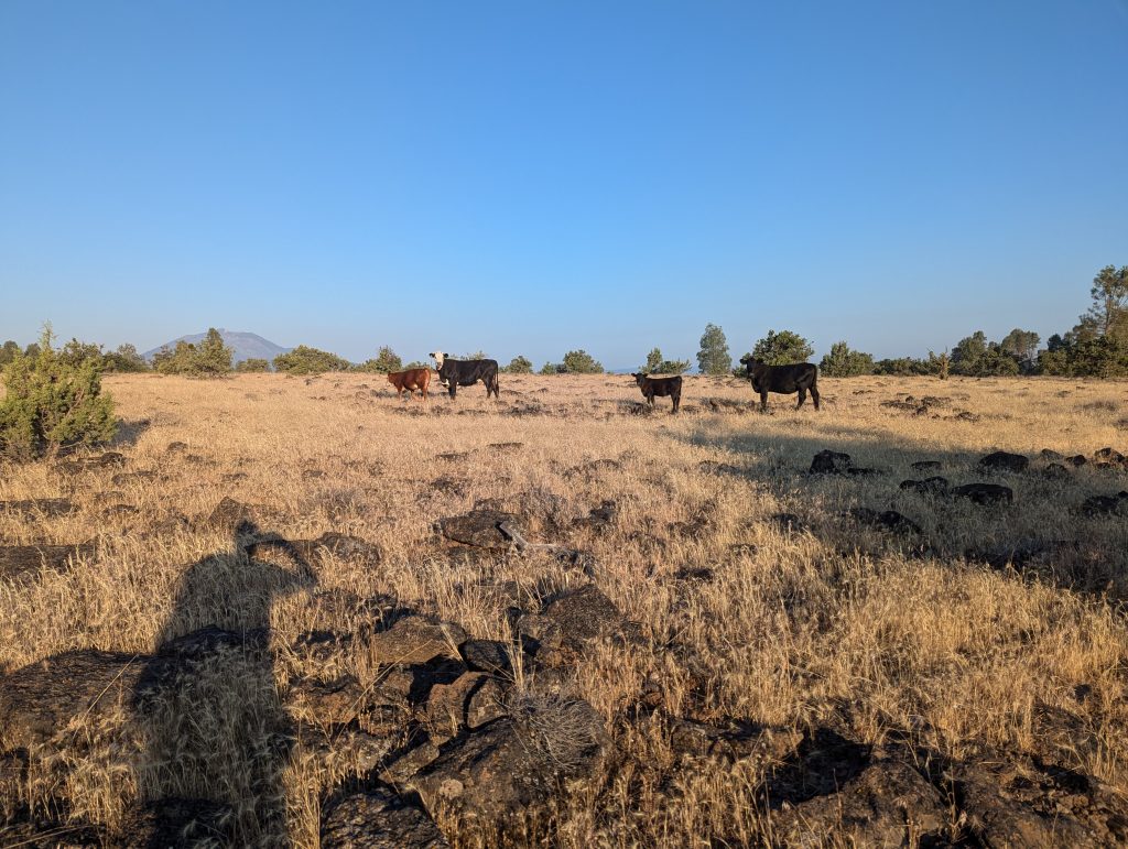
I walk around a few miles before suddenly I’m on a cow pasture. Even if the grass looks very dry, I meet some cattle who are eating here and watching me with interest.
After a while I sat on a big stone and had breakfast. After that, however, it goes straight on, although I’m driving at a fast pace again today. After some time it goes slightly downhill and then I follow the small path through bushes and past trees. The lava rock is partially visible.
An interesting but very helpful marking is attached to a road that quickly makes it clear where the path continues.
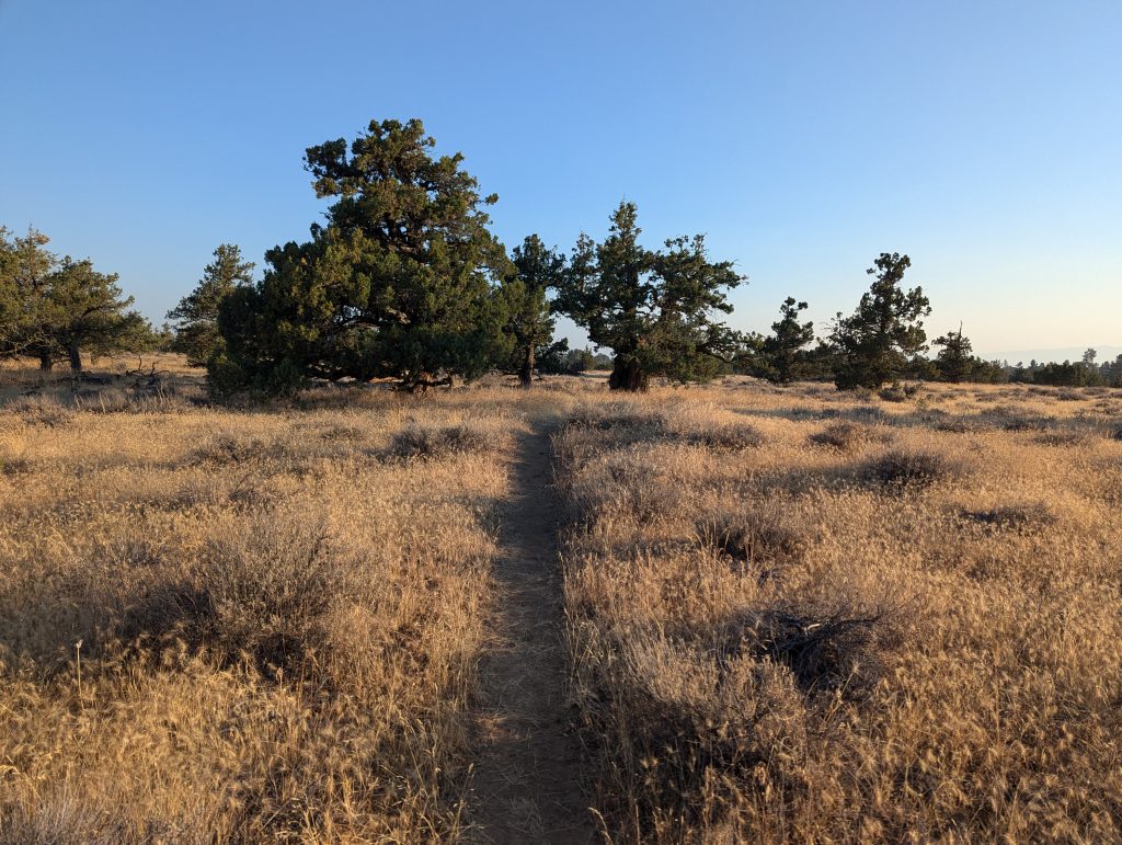
Then it’s a few miles through beautiful pasture landscapes, which also look very dry here.
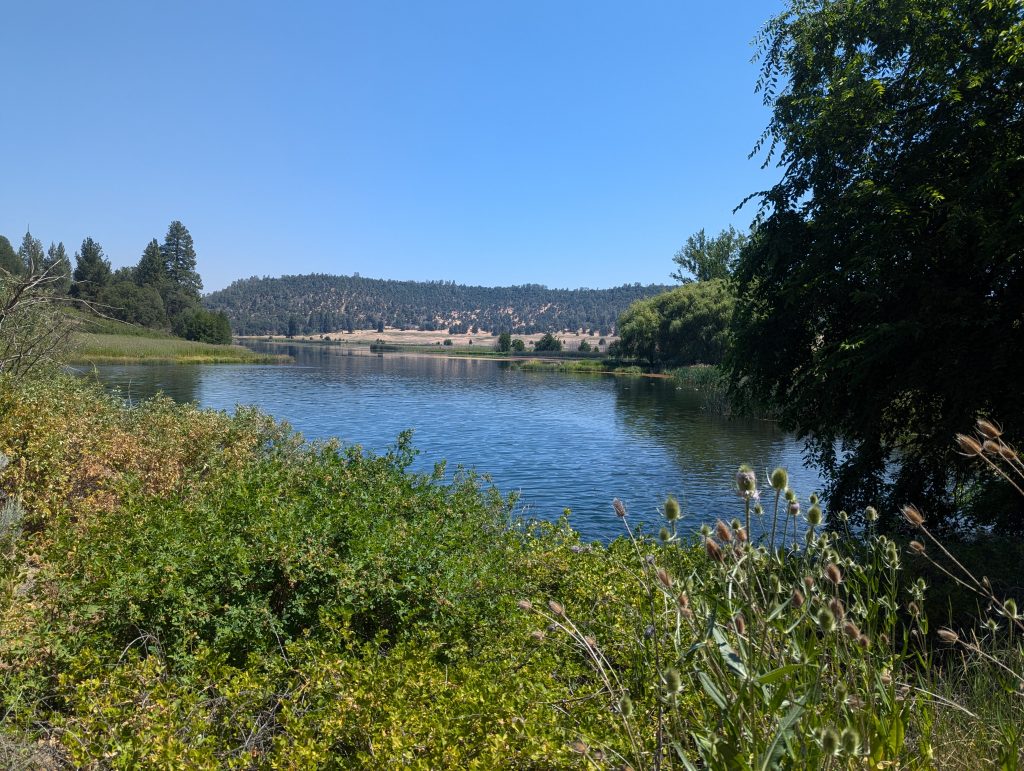
Shortly before noon, I reach another lake next to which a power plant is attached. Then I walk a few meters uphill and then turn to a ranch, where there is a small shop to refresh the groceries. I’ll stay here for a few hours to get out of the midday heat. I take a shower and wash my clothes. Then I’ll talk to other hikers for a long time, staying here in a dormitory for you today. Later I freshen up my food in the store and get a homemade burrito by the wife of the house. After I ate this, I set off again. Overall, I spent almost 4 hours here and when I start again the heat is a bit more pleasant.
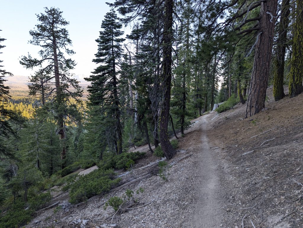
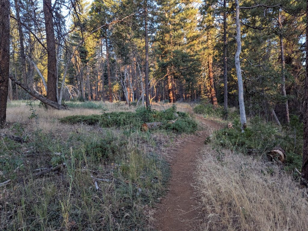
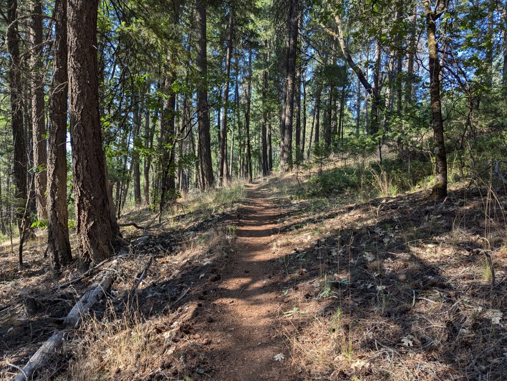
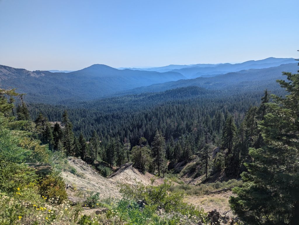
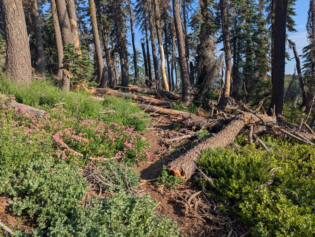
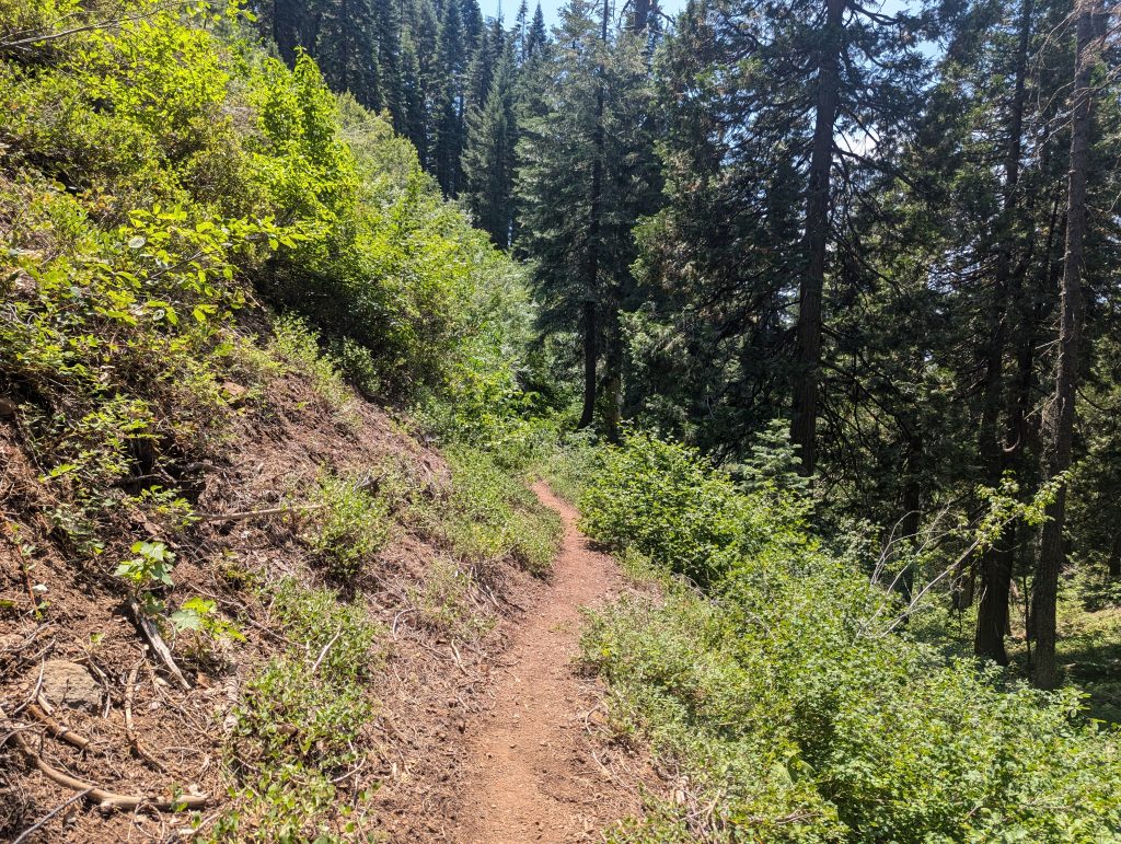
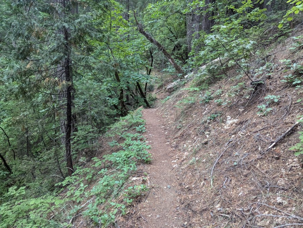
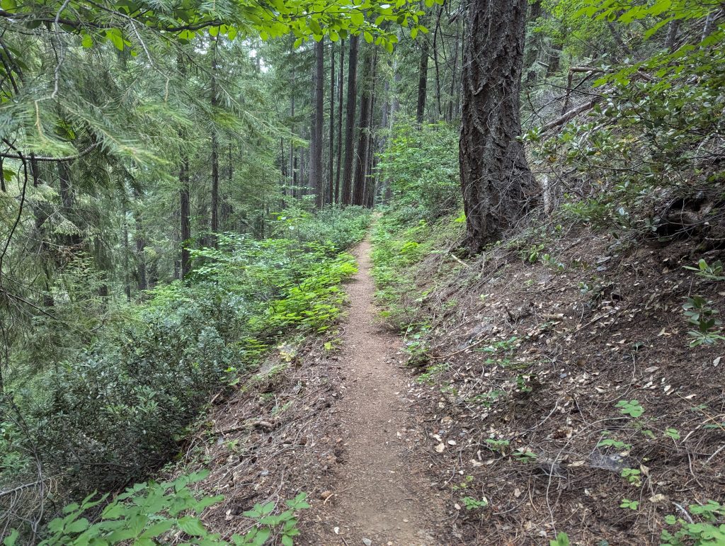
It continues on a small path through the forest. The path offers little variety, but in contrast to the burnt-down forests of the last few days, it is still beautiful.
I walk almost 9 miles away and then stop at a campsite where I fill up my water. I have a quick dinner and actually wanted to go on afterwards. During the meal, however, I find out about the ‘Shelly Fire’, which rages a few miles further north and erases entire areas. In the meantime, the fire has spread significantly again and the PCT is closed on this section. In the next few days I have to see how I want to deal with this situation. The official PCTA message recommends going to Ashland and thus circumnavigating the fire. But I would lose almost 200 miles of the PCTS and would even have to drive the car across the border to Oregon, which doesn’t exactly trigger joy in me. Due to the bad news, my mood drops a bit and I decide against running on. Instead, I set up my tent and go to sleep a little earlier today.
Day 77 – 48.5 km – Friday 12.07.2024
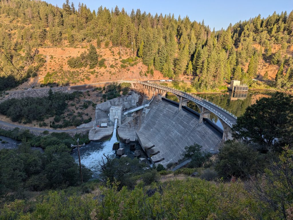
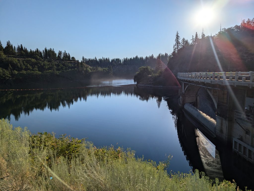
I get up and have breakfast at a table at the campsite. Then I’ll start again. Today it’s quite relaxed through the forest before I pass a dam.
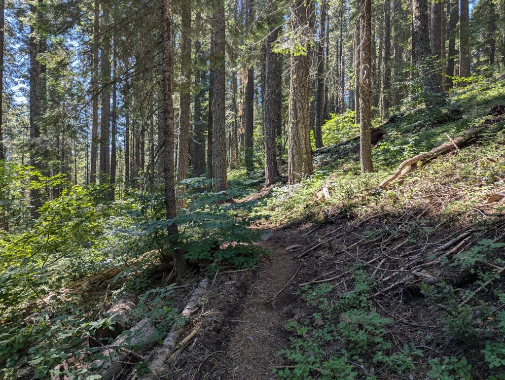
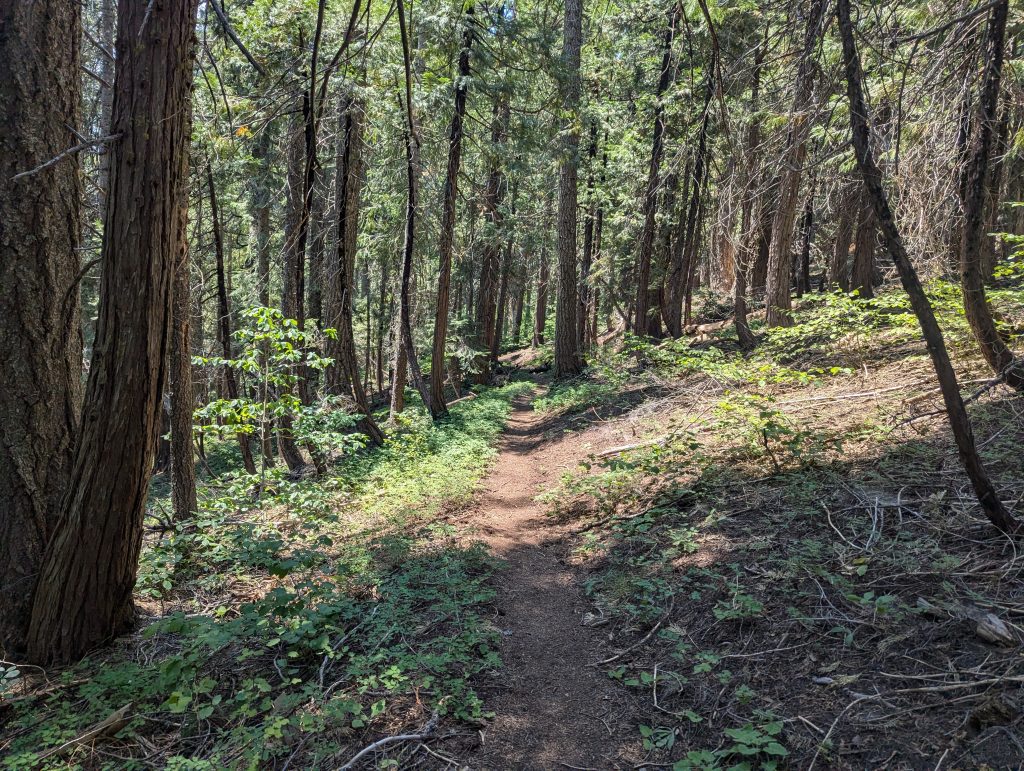
From here the path leads me slowly but steadily uphill. The landscape hardly changes for a long time and walking is very pleasant in the shade of the trees.
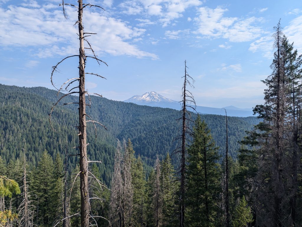
Only around noon do I get up and get a look at Mount Shasta.
It continues along the slope and the surrounding area is beautiful most of the time.
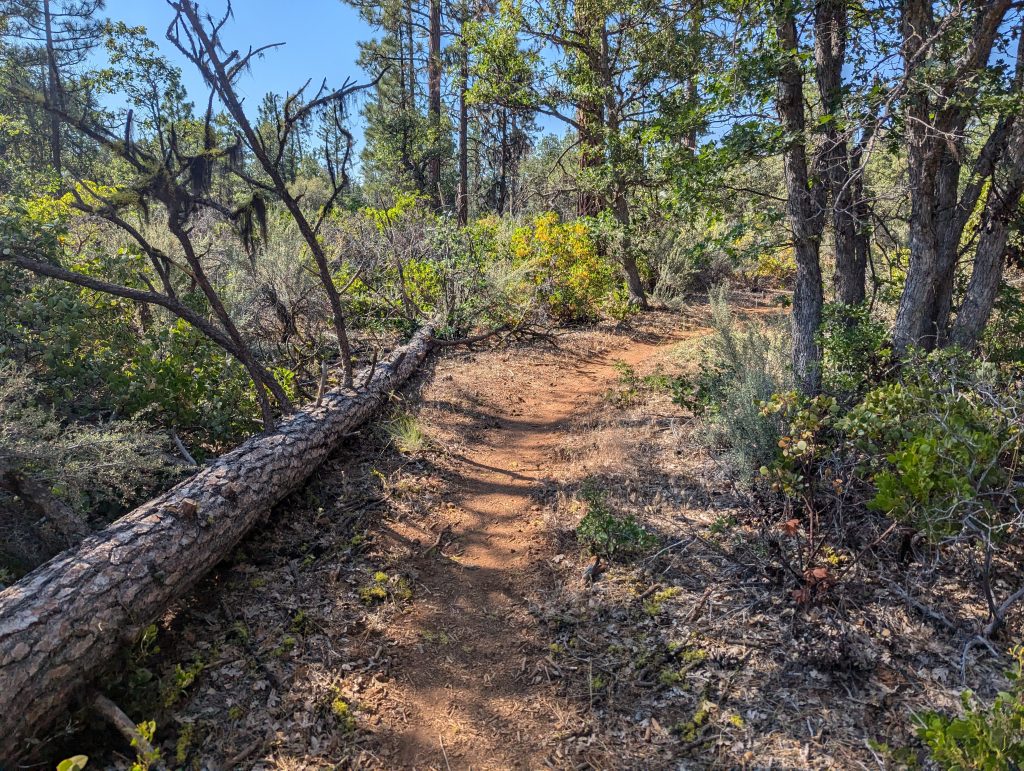
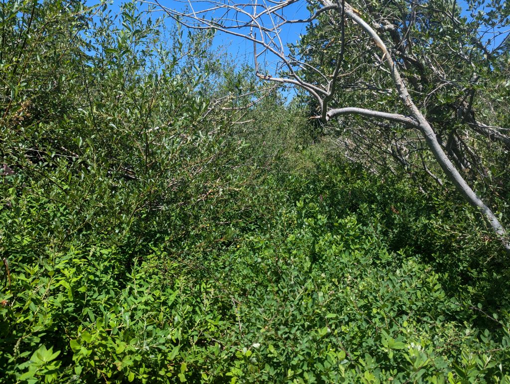
In between, however, I have to fight my way through a very overgrown path from time to time. The bushes are so dense that the path itself is hardly visible. Nevertheless, I can see to some extent where to proceed.
I walk up and down for a few more hours and enjoy the view of the surroundings.
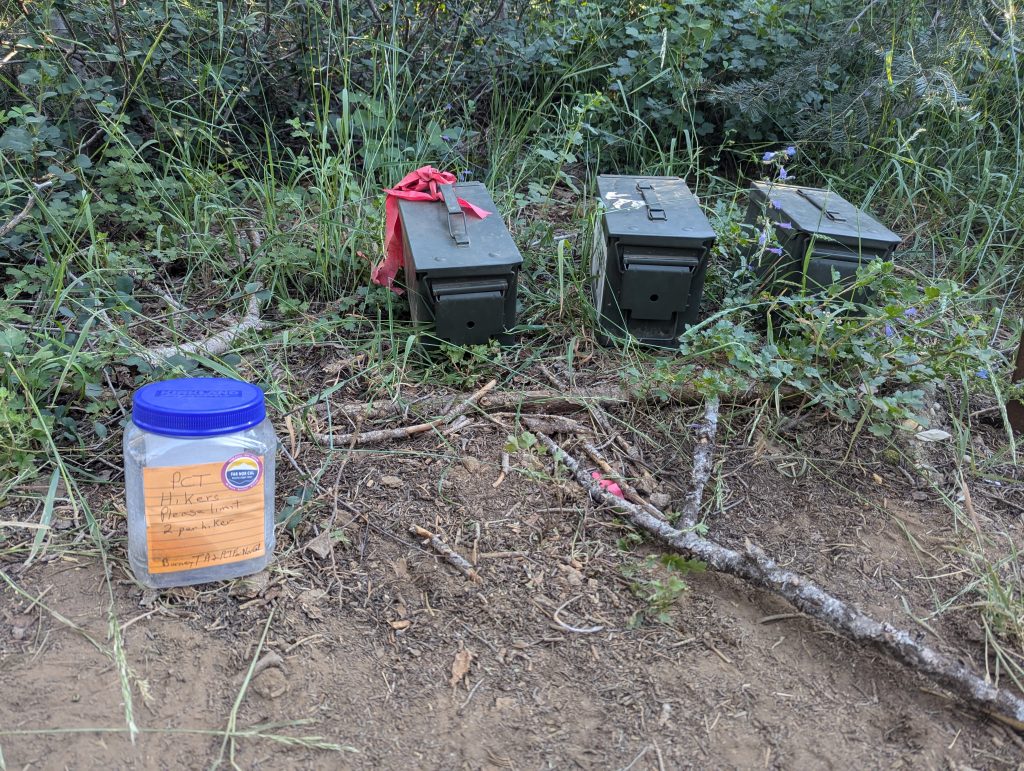
In the evening I get a few delicious biscuits that are placed in an ammunition can along the way.
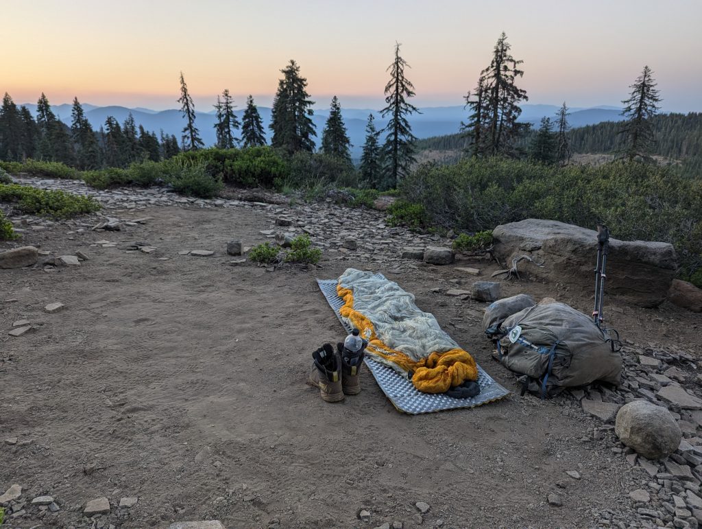
Strengthened, I walk a few miles further and when it’s already getting dark, I’m building my night camp in a place on the slope. Since there are neither mosquitoes nor wind here, I’ll do without my tent again tonight and fall asleep a little later under the starry sky.
Day 78 – 53.9 km – Saturday 13.07.2024
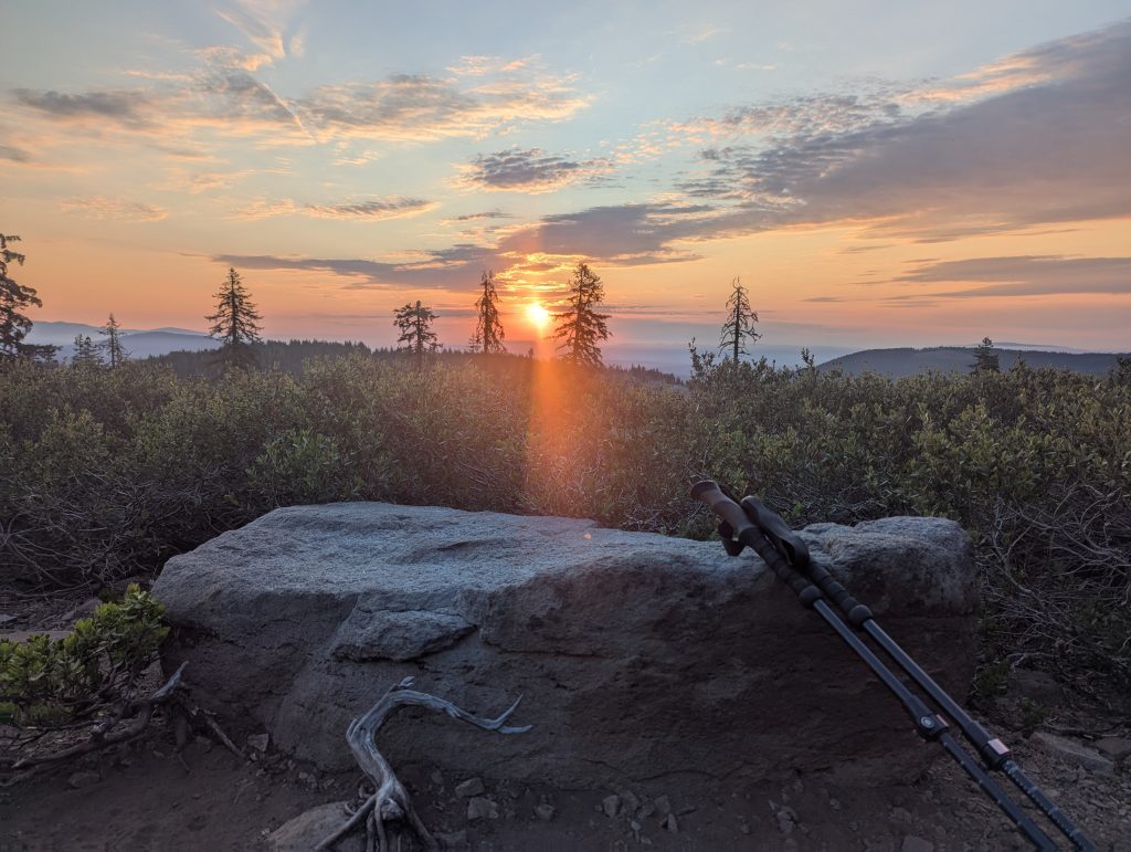
I didn’t sleep very well last night. Sometime I woke up at 3 a.m. because either an overzealous hiker or an animal walked through my night camp. From the gait I would rather bet on a bear. Nevertheless, I get up at 5:30 a.m. and have breakfast while the sun is rising.
For the first few miles, I continue through the forest for me, although today I have often struggled with trees and overgrown paths. So I don’t make any real quick progress and at 10 a.m. I only managed 12 km. Normally I’ve arrived here at about 15-16 km. But the poorly maintained path really slows me down and I don’t really enjoy hiking here. Again and again I have to fight my way through bushes or climb over the upturned trees, which both becomes exhausting over time.
At least I get a good view of the landscape in between.
Since I’m slowly running out of food, I have to make over 30 miles today to make it to the next city tomorrow. So I keep fighting my way forward and only take a break at the highest point. I eat something and am being monitored by a very intrusive deer.
After the break follows a very, very long descent. Overall, it’s almost 2000 meters downhill. In the dense forest it is quite pleasant to walk and in the afternoon there are even a few clouds, which quickly darkens. After what felt like an eternity, I reach a river where I fill up my water again. By then I’ve already completed 22 miles and only met one person.
This is followed by a longer ascent, in which I quickly feel the long last descent in my legs. But since I have to keep going, I keep walking uphill. The strenuous climb is quite long and in the late evening I unpack my headlamp at some point because it has become very dark in the forest. With a light on my head, I walk on another hour and finally reach a place to sleep shortly before 10 p.m.
Now I’ve left almost 34 miles behind and I’m pretty exhausted. That’s why I go to sleep directly to at least give my body some time to relax.
Day 79 – 30.6 km – Sunday 14.07.2024
Since I can still feel the long day of yesterday in the morning, I’ll stay there until 6 a.m. Then I eat the last oatmeal and drink another cup of coffee. So I won’t get away until around half past seven.
It goes uphill for a long time. Since I also notice yesterday’s effort in my feet, I’m a little slower today or take a few breaks. Essentially, most of the time is uphill in the morning. Today it’s cloudy again and the temperatures are quite pleasant.
At the highest point of the mountain, I take a short lunch break shortly before 12 p.m., but then start again to get to my next town soon down the road.
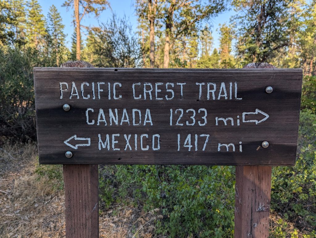
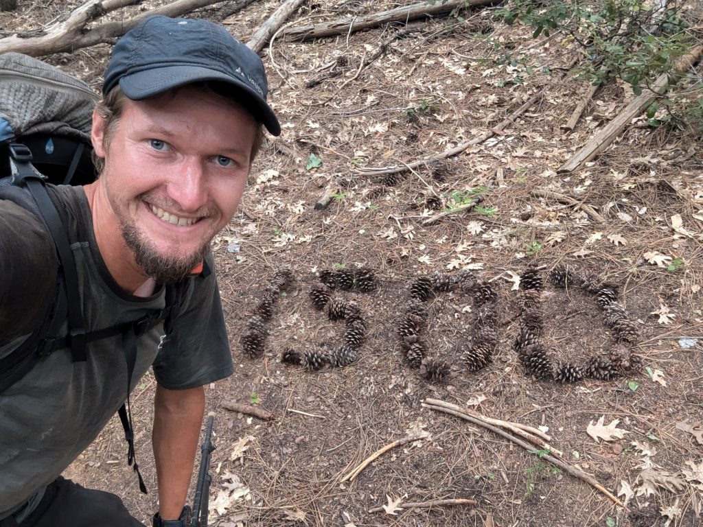
This is followed by a descent about 9 miles long, which is neither exhausting nor difficult. So I keep walking downhill relaxed and now I’ve got a good pace again. Shortly before the end of my route today, I can still look forward to the 1500 milestone.
After a few hours I finally reach the road that is supposed to take me to Mount Shasta. Until then, today I only saw 2 hikers who had camped in the same place as me, which made it a very quiet day for me.
Unfortunately, it is also very quiet here and hardly anything is going on. Thus, hitting the hitch turns out to be more difficult and after almost an hour only 5 cars drove through. Two stopped, one full and the other had to go in the wrong direction. Since I can’t get an Uber either, I’m asking in a Facebook forum for Trail Angels here in the region. In fact, I’m lucky and someone who’s in the area can pick me up and take me to town. Almost 10 minutes later I’m sitting in the car on the way to town. Once there, I go to a hotel that I booked for tonight. I put my things there and then quickly walk to a sports shop that is only open for an hour. Since the PCT is getting easier here and it’s difficult to walk quickly in hiking boots, I would like to try trail running shoes for the next few weeks. So I walk a pair of very light shoes in the sports shop, which I immediately leave on. Let’s see how things will go in the next few weeks and whether I’d rather switch back to my hiking boots in Washington. After that, I eat a burger with chips in a local restaurant and chat with a few local people who are pretty interested in my hike. Later I shop at the supermarket and then go back to my room. There I take an extensive shower and let the evening end in a relaxed manner.
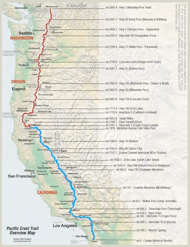
Overview
In the meantime I have actually walked over 1500 miles and am currently in Mt Shasta.
As some may have noticed from the news, the forest in northern California is once again burning in several places. Not far from here, the Shelly Fire is currently raging, which unfortunately also affects my hike on the PCT. Several miles of the PCT are currently directly affected by the fire and a larger section has been suspended.
Theoretically, there is the possibility of circumnavigating the closure, which corresponds to a multi-day hike on a road. However, since many emergency services are on the road there and the view often becomes bad due to the smoke, this alternative should no longer be taken to relieve the emergency services. In addition, the evacuation plans for ETNA, which would have been my next goal, are in full swing and so with a heavy heart I made the decision to follow the PCTA recommendation and drive the car to Seaid Valley and thus avoid the fire. Unfortunately, I’m missing out on almost 150 miles of the official PCT and I’m already just before the border with Oregon.
Here is my overview map:
Leave a Reply